Enable Location

We need your location to show you interesting places around you

Discover nearby places

Find interesting locations and hidden gems around you

Precise directions

Get accurate directions and distances to places

Your location is never shared with other users. It's only used when you tap the location button.

Aiguille de Manigod

Log in to your account

Start exploring — it's free

Trusted by 63,067 travelers worldwide

Continue with Google
Continue with Apple
or

We will send you a code to connect

By continuing, you accept our Terms and Conditions and our Privacy Policy

Check your inbox

We've sent a pincode in your inbox. Please enter the code below.

Aiguille de Manigod
Discussion Reviews 1 Photos
600+ Popularity

Aiguille de Manigod, Mountain summit in Aravis range, Haute-Savoie, France

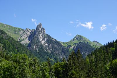
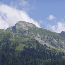
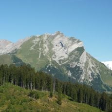
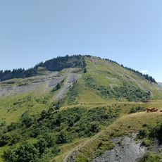
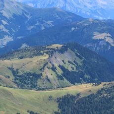
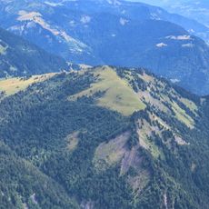
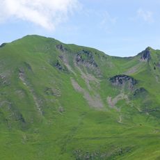
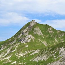
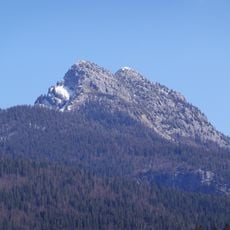
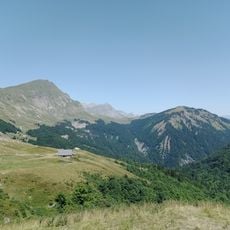
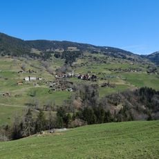
Aiguille de Manigod is a mountain summit in the Aravis range at 2024 meters elevation, featuring sheer rocky faces and demanding terrain. It sits positioned between Mont Charvin and L'Étale, forming part of the high Alpine landscape in this region.

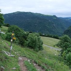
The summit has been documented in Alpine climbing guides since the early 20th century as a recognized mountaineering objective. Access routes through the area evolved over decades, with routes established toward the Tardevant chalet.

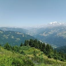
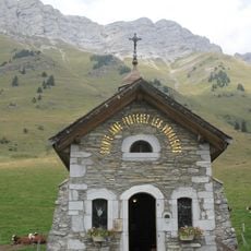
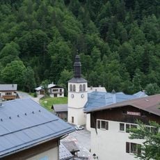
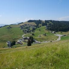
The mountain represents a significant element of the local landscape, where residents maintain traditional Alpine customs and mountain activities throughout seasons.

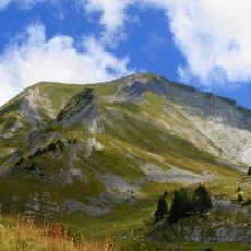
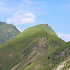
Hikers should begin from the 'sous l'aiguille' parking area and follow the marked trail ascending the northwest face of the mountain. The route demands solid footing and Alpine experience, particularly when weather conditions become challenging.

The summit's multiple gullies and steep faces have become a favored location for wingsuit flyers seeking challenging aerial descent routes. This specialized pursuit brings athletes from around the world who combine technical flying skills with parachute deployment.

The community of curious travelers

AroundUs brings together thousands of curated places, local tips, and hidden gems, enriched daily by 60,000 contributors worldwide.

Start exploring
Location
Elevation above the sea
2,024 m
GPS coordinates
45.82994,6.43073
Latest update
December 14, 2025 20:26
Reviews
Share your experience

No review yet

Discussions
Start a discussion...

No discussion yet

« Aiguille de Manigod - Mountain summit in Aravis range, Haute-Savoie, France » is provided by Around Us (aroundus.com). Images and texts are derived from Wikimedia project under a Creative Commons license. You are allowed to copy, distribute, and modify copies of this page, under the conditions set by the license, as long as this note is clearly visible.

Discover hidden gems everywhere you go!

From secret cafés to breathtaking viewpoints, skip the crowded tourist spots and find places that match your style. Our app makes it easy with voice search, smart filtering, route optimization, and insider tips from travelers worldwide. Download now for the complete mobile experience.

Around Us App Screenshot

A unique approach to discovering new places

Le Figaro

All the places worth exploring

France Info

A tailor-made excursion in just a few clicks

20 Minutes

Around Us
Travel Guide & Maps
Download

Send to your phone

QR Code
1

Open the camera app on your mobile.

2

Point at the QR code with your camera. A notification will appear.

3

Tap the notification to open the link.