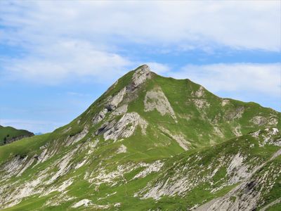
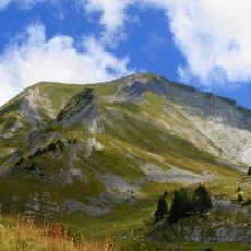
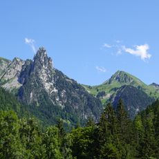
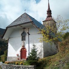
La Goenne, Mountain summit in Aravis Range, France
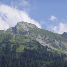
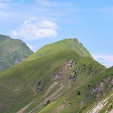
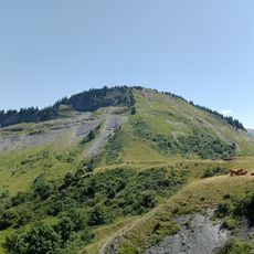
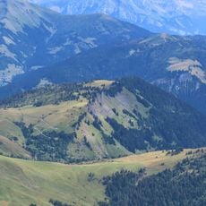
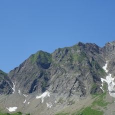
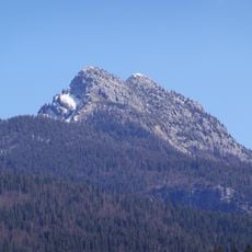
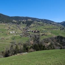
La Goenne is a mountain summit in the Aravis Range that rises to about 2,174 meters (7,133 feet) between Manigod and Ugine. The peak sits in a hiking region of the French Alps with multiple approach routes of varying difficulty levels.
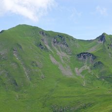
The summit served as a natural boundary marker between different Alpine communities from the medieval period onward. Local shepherds and travelers used this location for centuries as a navigation point in the mountainous terrain.
Mountain guides from surrounding villages organize regular expeditions to Goenne, teaching visitors about Alpine flora identification and mountain safety protocols.
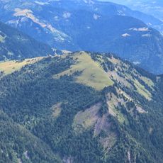
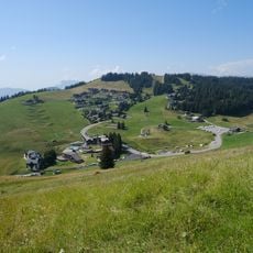
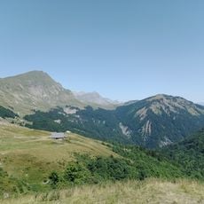
The summit is accessible via multiple hiking trails, with the eastern route offering the most gradual ascent for intermediate walkers. Visitors should bring sturdy footwear and weather-resistant clothing, as conditions at elevation can change quickly.
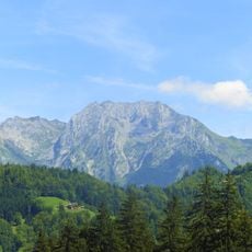
On clear days, visitors can see both Mont Blanc and Lake Annecy from this summit, making it a special vantage point. This dual view allows hikers to observe two distinct landscapes simultaneously from a single location.
The community of curious travelers
AroundUs brings together thousands of curated places, local tips, and hidden gems, enriched daily by 60,000 contributors worldwide.