Gorges de l'Arly, Natural canyon between Flumet and Notre-Dame-de-Bellecombe, France
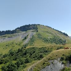
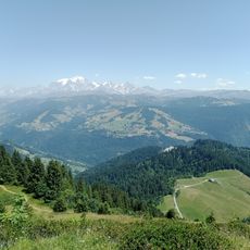
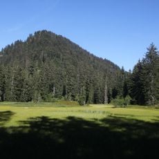
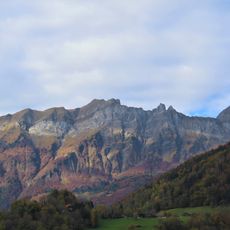
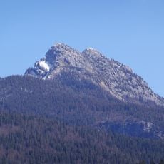
The Gorges de l'Arly is a narrow canyon in the Savoie department where the Arly River flows between steep rock walls. The walls rise on both sides of the water and form a tight passage through forested slopes.
Glaciers carved the canyon during ice ages and cut the valley deep into the rock. Meltwater continued the erosion and deepened the passage over thousands of years.
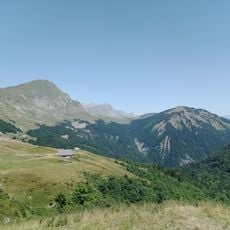
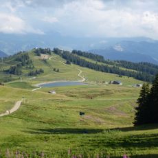
The villages above the gorge — Notre-Dame-de-Bellecombe, Saint-Nicolas-la-Chapelle, Crest-Voland, Héry, Cohennoz — sit at mid-slope between 1,000 and 1,200 metres, while the Arly runs 200 to 600 metres below them. At Flumet the two banks are joined by the pont de l'Abyme. Three roads run the length of the gorge: the D1212 along the riverbed, the D109 on the right bank via Héry and the D71 on the left bank via Cohennoz.
The road through the canyon runs close to the rock walls and closes often during rockfall events. Visitors should check traffic notices and travel during warmer months when the route is more stable.
The D1212 through the gorge was only traced in 1866, after twenty years of work, and has been fitted out mainly since the 1950s with nets, gabions, galleries and tunnels against rockfall. A 240-metre tunnel was built on the left bank after the 9 February 2019 collapse at Les Cliets, below Le Cernix in Cohennoz; the gorge reopened to traffic in summer 2021 after more than two years of closure.
The community of curious travelers
AroundUs brings together thousands of curated places, local tips, and hidden gems, enriched daily by 93,470 contributors worldwide.