Ugine, commune in Savoie, France
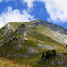
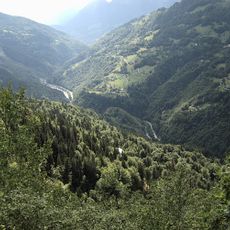
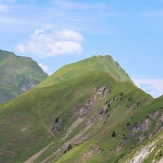
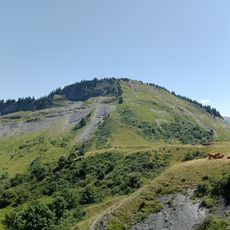
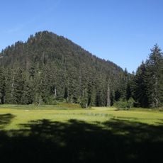
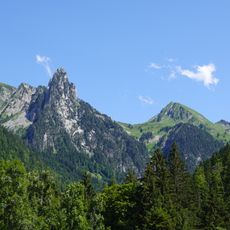
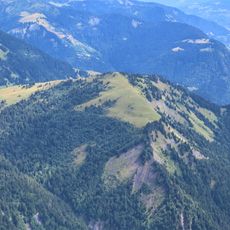
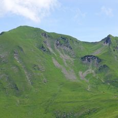
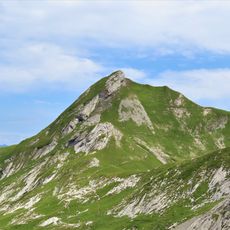
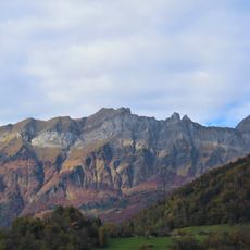
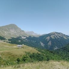
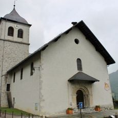
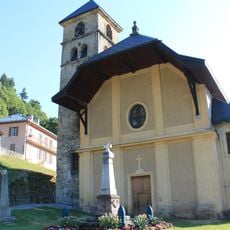
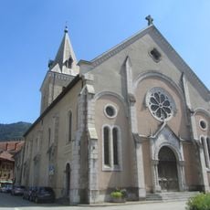
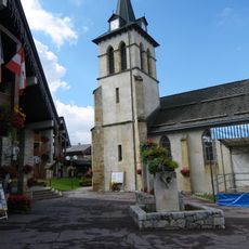
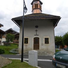
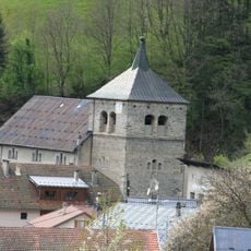
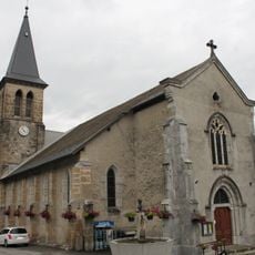
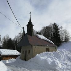
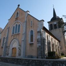
Ugine is a small town in the Val d'Arly valley in the Savoie region, surrounded by green fields, forests, and rocky mountain formations. The town features narrow, winding streets with traditional stone houses topped with tiled roofs, standing alongside modern structures that show how the community preserves its past while moving forward.
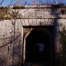
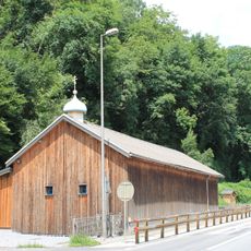
Ugine was originally part of the Savoy province and became part of France in the 1800s, after which the town grew slowly as a place where people lived and worked. The town's industrial history, particularly in processing metals and ores, shaped its economy and identity for generations and left traces visible in old factories and local stories today.
The name Ugine reflects historical influences and is sometimes pronounced as Ugena or Ugina, showing the cultural layers that shaped the town over centuries. Locals value simple pleasures and gather in public spaces to celebrate traditions with folk music, dance performances, and hearty meals made from regional cheeses and mountain vegetables.
The town sits in a valley with straightforward layout, easy to explore on foot or by bike since many facilities are centrally located. Bus services connect Ugine to nearby towns, rental shops nearby offer equipment for outdoor sports, and the gentle pace of daily life allows visitors to explore the area at their own rhythm.
Ugine is a leading European center for processing high-performance metals like titanium and zirconium, giving the town an unexpected industrial focus on advanced material science. Despite this specialized production, the town remains accessible and welcoming to visitors interested in exploring the mountain area and its traditions.
The community of curious travelers
AroundUs brings together thousands of curated places, local tips, and hidden gems, enriched daily by 60,000 contributors worldwide.