Roc de Charmieux, Mountain summit in the Bornes massif, Glières-Val-de-Borne, France
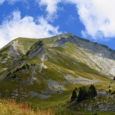
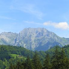
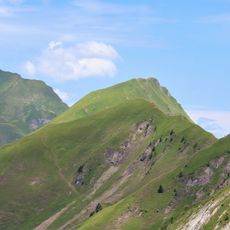
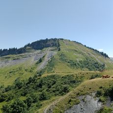
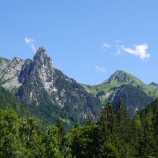
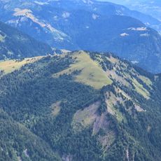
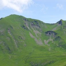
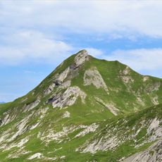
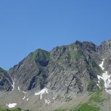
Roc de Charmieux is a summit in the Bargy range, part of the Bornes massif in Haute-Savoie. It consists of a rectangular slab of Urgonian limestone oriented northeast-southwest and inclined eastward, bounded by cliffs on its northwest and southeast sides. The highest point, 1,877 m, is on the western edge. It overlooks the village of Entremont in the Borne valley and marks the southern end of the Bargy chain, southwest of the Roc des Tours.
Roc de Charmieux is the southern end of the Bargy chain, southwest of the Roc des Tours, and its limestone slab rises above Entremont in the Borne valley. The sources record no pastoral history for the summit itself; the climbing routes lie in the cliff above the Chalet de la Culaz to the east.
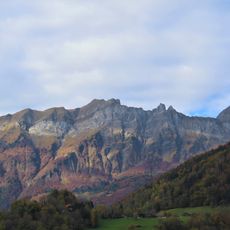
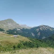
The name Charmieux comes from the alpine pasture of Charmieux, and the mountain marks the southern end of the Bargy chain above Entremont in the Borne valley. The cliffs above the Chalet de la Culaz, on the eastern side, are equipped with climbing routes.
The summit is reached from the Culaz chalet to the east, where climbing routes run up the cliff face; the western rim holds the high point at 1,877 m. The mountain rises directly above Entremont in the Borne valley, so approach from that side.
Roc de Charmieux is the southern end of the Bargy chain, southwest of the Roc des Tours, and its summit at 1,877 m sits on the western rim of a rectangular slab of Urgonian limestone tilted eastward. The crag drops over the village of Entremont in the Borne valley, and climbing routes run in the cliff above the Chalet de la Culaz to the east.
The community of curious travelers
AroundUs brings together thousands of curated places, local tips, and hidden gems, enriched daily by 94,661 contributors worldwide.