Enable Location

We need your location to show you interesting places around you

Discover nearby places

Find interesting locations and hidden gems around you

Precise directions

Get accurate directions and distances to places

Your location is never shared with other users. It's only used when you tap the location button.

Mont Charvin

Log in to your account

Start exploring — it's free

Trusted by 61,473 travelers worldwide

Continue with Google
Continue with Apple
or

We will send you a code to connect

By continuing, you accept our Terms and Conditions and our Privacy Policy

Check your inbox

We've sent a pincode in your inbox. Please enter the code below.

Mont Charvin

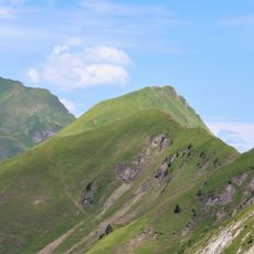
Mont Charvin, Mountain summit in Aravis Range, France

Description

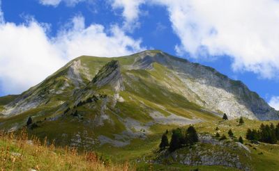
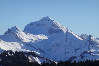
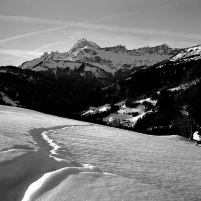
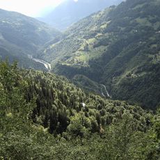
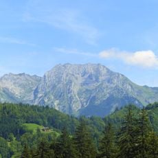
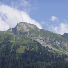
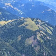
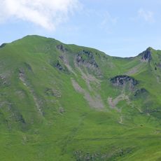
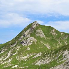
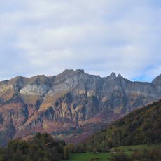
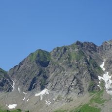
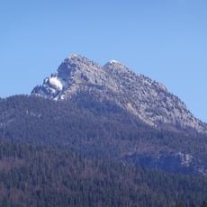
Mont Charvin is a summit in the Aravis Range reaching 2409 meters, marked by sedimentary rock formations and steep cliff faces that define the southern boundary of this mountain range. The peak stands out for its exposed rock walls, which create dramatic vertical terrain across its faces.

History

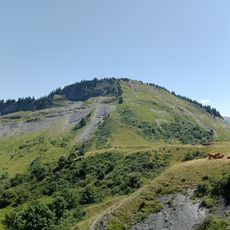
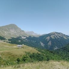
The mountain paths surrounding the summit have served as transit routes for shepherds moving flocks between valleys since Medieval times. These ancient routes continue to influence the trails that climbers and hikers use today to ascend the peak.

Culture

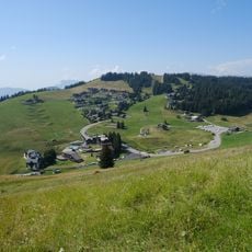
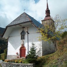
The communities around the mountain celebrate their Alpine heritage through seasonal gatherings and local festivals that bring people together during summer months. These events reflect how deeply connected the nearby villages are to mountain life and its traditions.

Practical

The standard route from Sardoches parking area takes about 2 hours and 20 minutes to climb, with the full round trip covering approximately 9 kilometers. Hikers should be prepared for exposed terrain and varying difficulty levels, as different routes offer different climbing challenges.

Did you know?

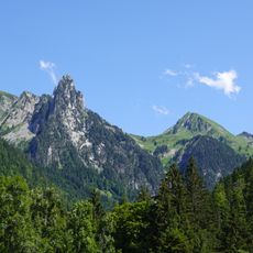
The eastern ridge called Arête du Lac provides a technical climbing route with fixed cables along its most exposed sections. This specialized line appeals to experienced climbers seeking more challenging terrain than what the standard hiking trails offer.

Location
Location
Elevation above the sea
2,409 m
Made from material
sedimentary rock
GPS coordinates
45.80243,6.42015
Latest update
December 10, 2025 20:06

AroundUs brings together thousands of curated places, local tips, and hidden gems, enriched daily by 60,000 contributors worldwide. Discover all places nearby (Ugine).

« Mont Charvin - Mountain summit in Aravis Range, France » is provided by Around Us (aroundus.com). Images and texts are derived from Wikimedia project under a Creative Commons license. You are allowed to copy, distribute, and modify copies of this page, under the conditions set by the license, as long as this note is clearly visible.

Discover hidden gems everywhere you go!

From secret cafés to breathtaking viewpoints, skip the crowded tourist spots and find places that match your style. Our app makes it easy with voice search, smart filtering, route optimization, and insider tips from travelers worldwide. Download now for the complete mobile experience.

Around Us App Screenshot

A unique approach to discovering new places

Le Figaro

All the places worth exploring

France Info

A tailor-made excursion in just a few clicks

20 Minutes

Around Us
Travel Guide & Maps
Download

Send to your phone

QR Code
1

Open the camera app on your mobile.

2

Point at the QR code with your camera. A notification will appear.

3

Tap the notification to open the link.