Étale, Mountain peak in the French Prealps, France
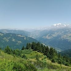
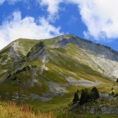
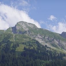
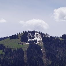
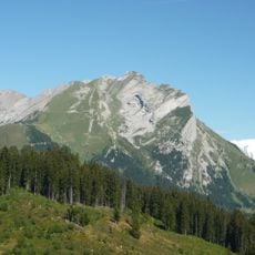
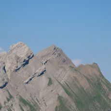
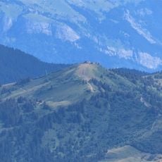
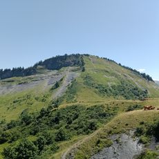
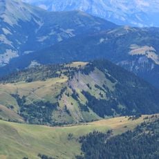
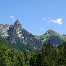
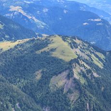
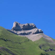
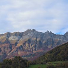
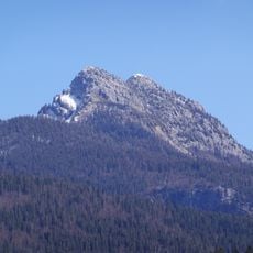
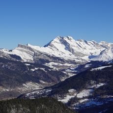
Étale is a mountain peak in the French Prealps located between Manigod and La Giettaz. The summit displays characteristic layered sedimentary rock formations that shape the visual character of this Alpine zone.
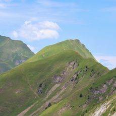
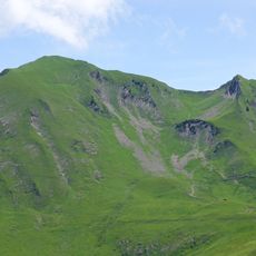
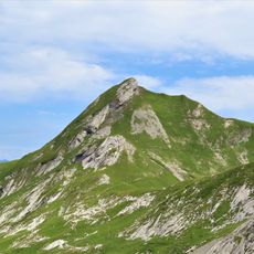
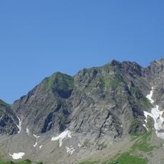
Étale lies on the border between Savoie and Haute-Savoie, in the Aravis range of the French Prealps. At 2,483 m (2,484 m in some sources), it is the highest summit of the southern Aravis, south of the Col des Aravis, overlooking Manigod to the west and La Giettaz to the north-east. Its bare grey crest shows vertical striations and gullies above forested lower slopes.
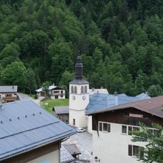
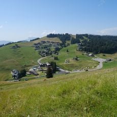
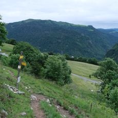
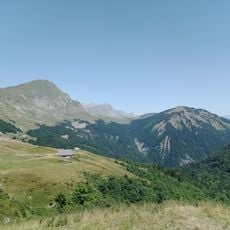
The summit marks the border between Savoie and Haute-Savoie and rises above the villages of Manigod to the west and La Giettaz to the north-east. The usual summer route starts from Comburce at the bottom of the Manigod valley, or joins it via the Tardevant alpine pasture and the Col du Passet.
Reaching the top requires good physical fitness and mountain experience. Visitors should start early in the day and be prepared for changing weather at this elevation.
The Étale mountain features a prominence of 997 meters and ranks as the sixteenth highest peak among the 242 summits in the Bornes massif.
The community of curious travelers
AroundUs brings together thousands of curated places, local tips, and hidden gems, enriched daily by 92,897 contributors worldwide.