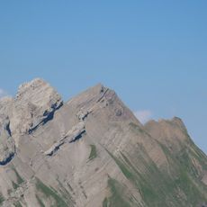
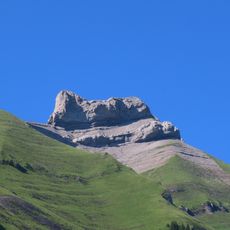
Aiguille de Borderan, Mountain summit in Savoie, France
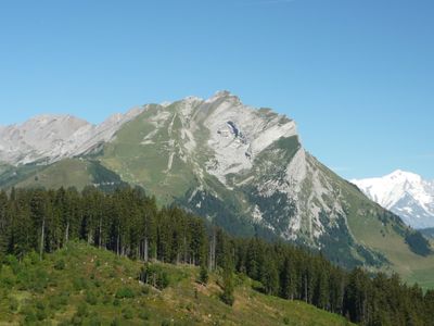
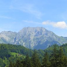
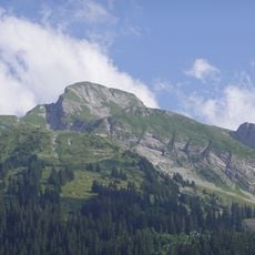
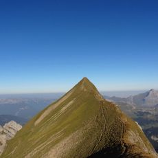
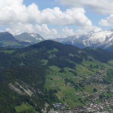
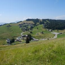
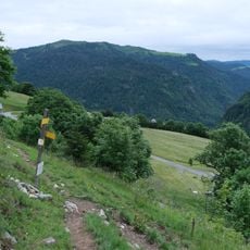
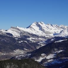
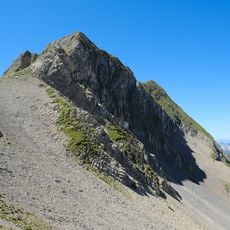
Aiguille de Borderan is a mountain summit in the Aravis Range of the French Alps located in Savoie, featuring a distinctive needle-like peak formed from sedimentary rock. The slope offers multiple climbing routes of varying difficulty and serves as a vantage point overlooking the surrounding alpine valley.
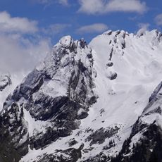
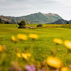
The peak took shape over millions of years through glacial movements and erosion that carved away the surrounding rock, creating its distinctive layered sedimentary structure. Human activity arrived much later, when alpine communities began using the surrounding meadows for seasonal grazing and pastoral traditions.
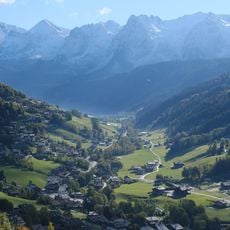
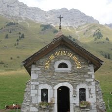
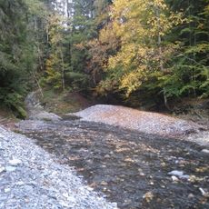
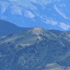
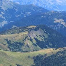
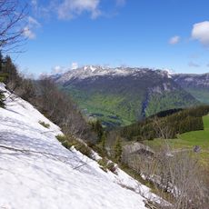
The surrounding pastures remain central to the local way of life, where herders bring cattle to graze in summer and traditional cheese-making continues using centuries-old methods.
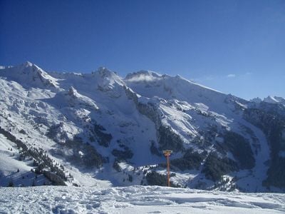
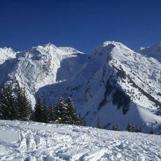
Visitors planning to climb should bring proper equipment and check weather conditions before heading out, as alpine conditions can shift rapidly throughout the year. Starting early in the day helps make best use of daylight and reduces exposure to afternoon storms that are common in this region.
This peak serves as a favored launching point for paragliders who take off here to soar across the Alps, capturing aerial views that ground-based visitors cannot experience. On days with good thermal conditions, the sky above fills with wings, making it a dynamic place to observe the sport in action.
The community of curious travelers
AroundUs brings together thousands of curated places, local tips, and hidden gems, enriched daily by 60,000 contributors worldwide.