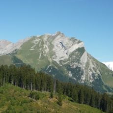
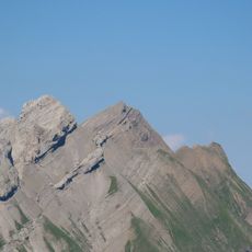
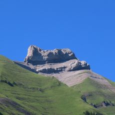
Tête du Danay, Mountain summit in the French Alps at La Clusaz, France.
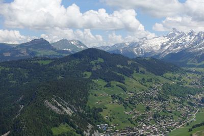
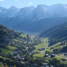
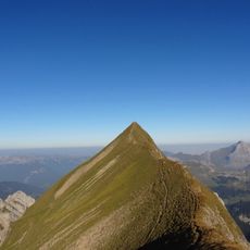
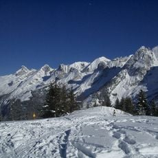
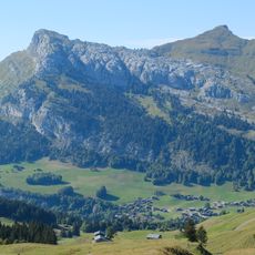
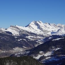
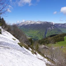
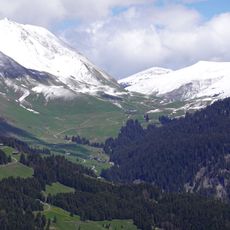
Tête du Danay is a mountain summit in the French Alps, standing at 1731 meters and displaying the sedimentary rock formations that shape the regional landscape. The peak offers broad views across surrounding valleys and the mountain ranges that make up this part of the Alps.
During the 20th century, cartographers used this peak as a key reference point while mapping the French Alps. Its prominent position made it valuable for establishing accurate coordinates across this mountain region.
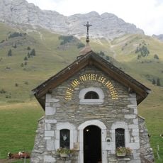
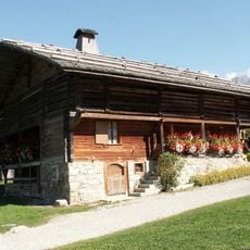
Shepherds still move their flocks along the mountain paths here to reach summer pastures, keeping alive traditional Alpine farming that has defined life in this region for generations. This connection between people, animals, and land is visible in how the paths and meadows are used throughout the year.
The trail to the summit stretches about 11 kilometers with roughly 930 meters of elevation gain, taking around 5 hours to hike. Start early, bring plenty of water, and check weather conditions before you go.
An orientation table at the summit helps visitors identify the surrounding mountain ranges and spot the distinctive peaks of the Aravis chain. This simple feature turns the summit visit into a small geography lesson about the Alpine landscape.
The community of curious travelers
AroundUs brings together thousands of curated places, local tips, and hidden gems, enriched daily by 60,000 contributors worldwide.