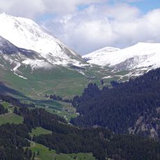
Parrossaz, Mountain summit in the Aravis Range, Savoie and Haute-Savoie, France
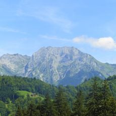
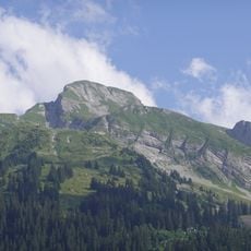
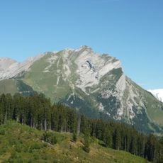
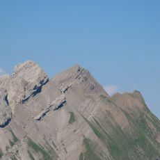
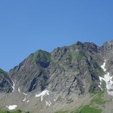
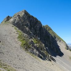
Parrossaz is a 2,556-metre summit on the ridge of the Aravis range, on the border between Savoie and Haute-Savoie above La Clusaz and La Giettaz. Its upper part is a pale grey and tan layered limestone cliff band, with a pointed top on the left and a scree slope of loose rock fanning down over grass below. A yellow sign reading "LA PARROSSAZ" stands on a pole on the lower slope.
This peak formed through millions of years of sedimentation that built the French Prealps' geological structure. The rock layers record an ancient history when seas covered this mountainous region.
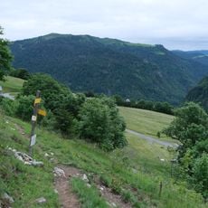
The name appears in two forms, Parossaz and Parrossaz, and the yellow sign on the lower slope reads "LA PARROSSAZ". The summit marks the boundary between the communes of La Clusaz in Haute-Savoie and La Giettaz in Savoie, so a walker crossing the top passes from one department to the other.
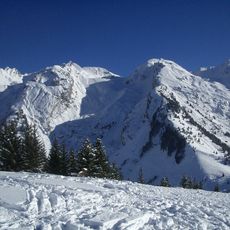
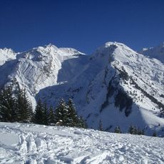
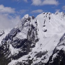
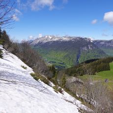
Several marked trails lead to the summit and require appropriate equipment plus good physical fitness for the climb. The best hiking season is June through September when snow does not block the paths.
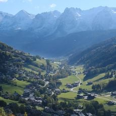
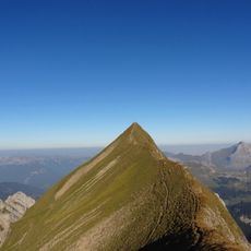
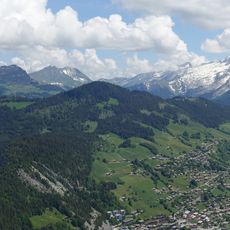
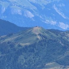
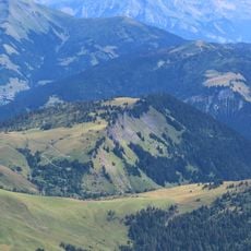
From the top, visitors can look across both sides of the ridge and see the valleys of Savoie and Haute-Savoie at the same time. This dual perspective reveals how different the landscapes appear on each side of the ridge.
The community of curious travelers
AroundUs brings together thousands of curated places, local tips, and hidden gems, enriched daily by 94,663 contributors worldwide.