Croix de Coste, Mountain peak in Beaufortain Massif, France
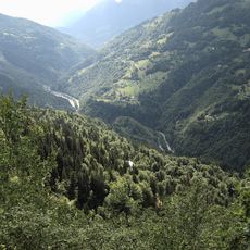
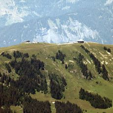
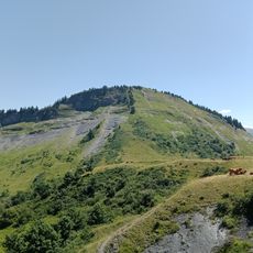
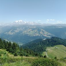
Croix de Coste is a mountain in the Beaufortain Massif in Savoie, reaching 1,816 metres on a ridge running south-west from the Signal de Bisanne. Its slopes are covered in dense coniferous forest, with a small open grassy crest at the top where a low rectangular building with a flat roof and antennas stands. A pale dirt track curves along the lower edge of the wooded slope, and the snow-covered peaks of the Mont-Blanc range appear in the distance.
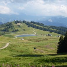
Croix de Coste, at 1,816 metres, lies on the ridge running south-west from the Signal de Bisanne, which rises to its north-east. The surrounding terrain is defined by the Arly gorges and the village of Cohennoz to the north-west, the Doron valley with Villard-sur-Doron and Queige to the south, and the Lac des Saisies just below the summit to the west.
The name Croix de Coste refers to a cross, though the summit itself is a forested crest; the sources record no cross on the peak, only the mountain's name. The summit lies on the ridge running southwest from the Signal de Bisanne, above the Arly gorges and the village of Cohennoz. The Lac des Saisies sits just below the top to the west.
The summit lies on the ridge running southwest from the Signal de Bisanne, above the Doron valley where Queige and Villard-sur-Doron sit. The Arly gorges and the village of Cohennoz close the view to the northwest, and the Lac des Saisies lies just below the top to the west. Approach from the valley side, where the slopes are wooded.
The summit's name comes from the cross (croix) that gives it its name, and the mountain lies on the ridge running southwest from the Signal de Bisanne. Just below the top, to the west, sits the small Lac des Saisies, a detail easily missed from the forested approach.
The community of curious travelers
AroundUs brings together thousands of curated places, local tips, and hidden gems, enriched daily by 93,135 contributors worldwide.