Le Christomet, Mountain summit in La Giettaz, France
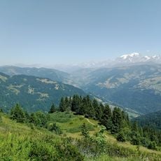
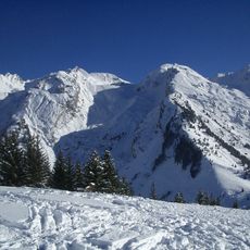
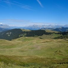
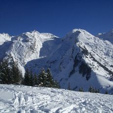
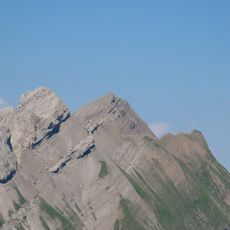
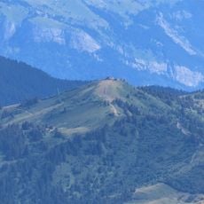
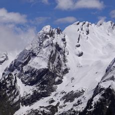
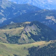
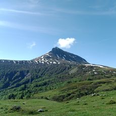
Le Christomet is a star-shaped mountain in the Aravis range, on the border of Savoie and Haute-Savoie, reaching 1853 metres. Several ridges run out from the summit, forming subsidiary tops such as the tête de Bonjournal, the tête des Charmots, the mont Lachat and the tête de Christomet. A double-bend path climbs the grassy slope to a low flat-roofed building with a row of windows at the crest, and the Arly flows below to the south.
Le Christomet lies on the boundary between Savoie and Haute-Savoie, and its summit is the point where the communes of La Giettaz, Praz-sur-Arly and Megève meet. The mountain's star-shaped form, with ridges running out to the heads of Bonjournal, Charmots, Lachat and Christomet, made it a natural marker for these parish and municipal limits. The Arly flows at its southern foot.
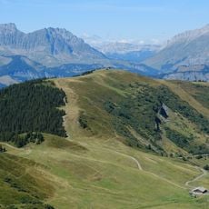
The summit is reached by a chairlift and a ski lift of the Megève ski area, which links to La Giettaz to the west and Combloux to the north-east. The mountain's star-shaped ridges carry several secondary tops, among them the tête de Christomet, the tête des Charmots, the tête de Bonjournal, the mont Lachat, the croix de la Riollon and l'Éperon.
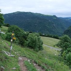
In winter the site is accessible by the Christomet and Torraz chairlifts, while summer brings hiking routes from Col du Jaillet into the area. Good footwear matters at any time of year because the terrain changes between open meadows and rocky sections.
In autumn the area becomes a place to watch deer during their mating season, a natural event many visitors do not notice or expect. Local restaurants offer special regional dishes during this period that showcase traditional Savoyard cooking.
The community of curious travelers
AroundUs brings together thousands of curated places, local tips, and hidden gems, enriched daily by 93,664 contributors worldwide.