Sallanches, Administrative center in Haute-Savoie, France
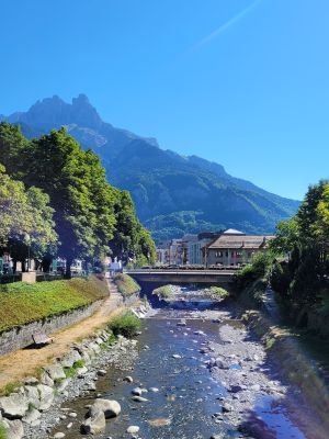
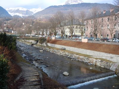
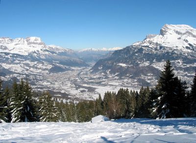
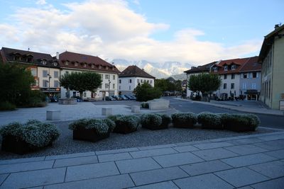
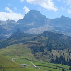
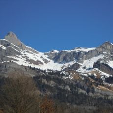
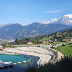
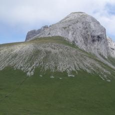
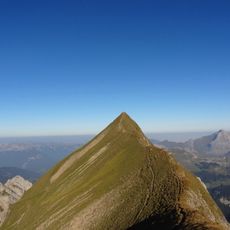
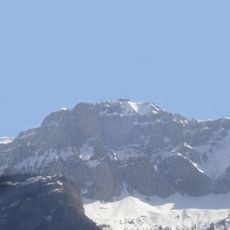
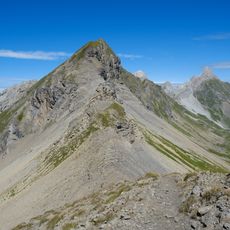
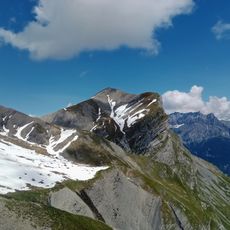
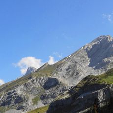
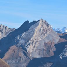
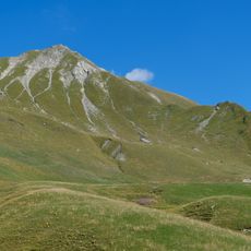
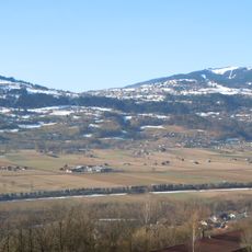
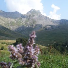
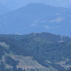
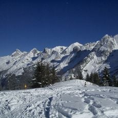
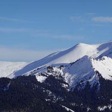
Sallanches is a town situated on a glacial plain at about 558 meters elevation in the French Alps. The surrounding peaks of the Aravis Range, Mont Blanc massif, and Faucigny massif shape the local landscape and geography.
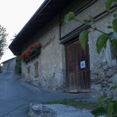
The town was rebuilt after a major fire in 1840 according to a new plan designed by engineer François Justin, which modernized its structure. This reconstruction shaped the current layout of the place.
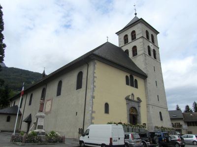
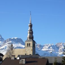
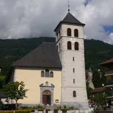
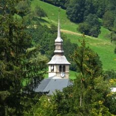
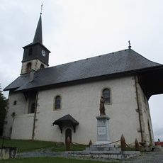
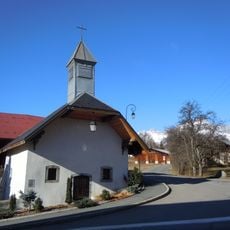
The 17th-century Collégiale Saint Jacques, now classified as a Monument Historique, stands as a central architectural element with 19th-century decorative elements.
The Saturday market gathers farmers and local merchants offering a good overview of produce and artisanal goods from the region. The A40 motorway and train station provide easy connections to other Alpine destinations nearby.
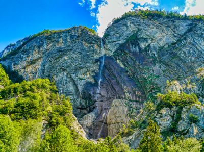
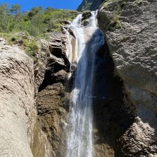
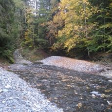
The Cascade d'Arpenaz is a natural waterfall that was designated for protection in 1991 and remains visible from various viewpoints around the area. The spray and sound of the falls make it a notable feature of the local landscape.
Location: Haute-Savoie
Location: arrondissement of Bonneville
Elevation above the sea: 1,249 m
Shares border with: La Giettaz, La Clusaz, Combloux, Cordon, Domancy, Le Grand-Bornand, Magland, Megève, Passy, Le Reposoir
Address: 74700 Sallanches, France
Phone: +33450912727
Email: contact@sallanches.fr
Website: http://sallanches.fr
GPS coordinates: 45.93639,6.63194
Latest update: December 17, 2025 09:10
Pointe Percée
6.3 km
Aiguille de Varan
4.6 km
Cascade de l'Arpenaz
4.5 km
Église Saint-Nicolas de Combloux
4.6 km
Lac biotope de Combloux
4.4 km
Église de Sallanches
456 m
Église Notre-Dame-de-l'Assomption de Cordon
2.3 kmChâteau de Charousse
3.3 km
Pointe d'Areu
6.4 km
Tardevant
8.3 km
Tête du Colonney
6 km
Mont fleuri
7.6 km
Quatre Têtes
5 km
Arrondine
9.7 km
Mont Charvet
7.3 km
Pointe de Bella Cha
6.6 km
Pointe d'Almet
9.9 km
Borne frontière de Cordon
7.8 km
Chapelle Notre-Dame-de-la-Paix-du-Monde de Sallanches
4.9 km
Granges de Passy
3.9 km
Église Saint-André de Domancy
2.9 km
La Miaz
7.4 km
Sommet des Salles
7.2 km
Tête de Paccaly
8.9 km
Chapelle de Bay
3.6 kmTête de la Forclaz
6.7 km
Ferme à Isidore de Combloux
4.7 km
Tête du Château
7.3 kmVisited this place? Tap the stars to rate it and share your experience / photos with the community! Try now! You can cancel it anytime.
Discover hidden gems everywhere you go!
From secret cafés to breathtaking viewpoints, skip the crowded tourist spots and find places that match your style. Our app makes it easy with voice search, smart filtering, route optimization, and insider tips from travelers worldwide. Download now for the complete mobile experience.
A unique approach to discovering new places❞
— Le Figaro
All the places worth exploring❞
— France Info
A tailor-made excursion in just a few clicks❞
— 20 Minutes