Tête du Colonney, Mountain summit in Faucigny Massif, Haute-Savoie, France
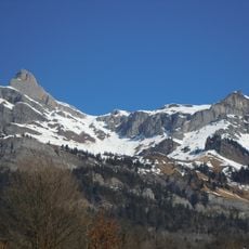
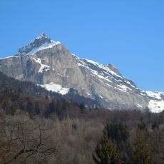
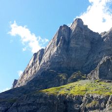
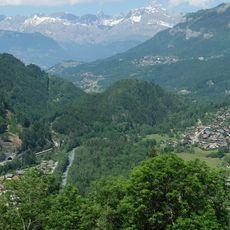
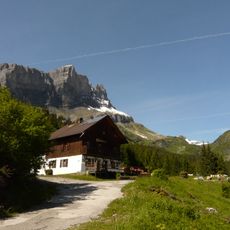
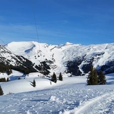
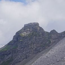
Tête du Colonney is a 2,692-metre summit in the Faucigny massif of Haute-Savoie, on the boundary between Sallanches and Passy, west of the Désert de Platé. Its upper part is a jagged crest of grey rock with snow patches; below, steep grey-brown walls fall away, cut by snow-filled gullies, and a broad snowfield covers the lower slopes. Dark evergreen forest appears near the base.
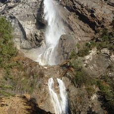
The name Colonney has no attested Latin origin and is probably Celtic, from the Gaulish colono, 'common property'. The summit may have marked the boundary between two pagi. At its foot, the Arpenaz hamlet and waterfall, from Gaulish arepennis, 'end of the land', is another boundary toponym.
The name Colonney has no attested Latin origin and is probably Celtic, from the Gaulish colono, "common property". The summit may have marked the boundary between two pagi. At its foot, in Sallanches, the hamlet of Arpenaz and its waterfall carry another boundary name, from the Gaulish arepennis, "end of the land".
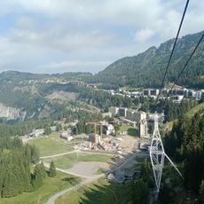
The peak can be reached from the north via Flaine, where ski lifts operate during winter and hiking routes are available in summer. Southern access comes through Praz Coutant, offering multiple pathways depending on the season and your experience level.
This peak sits near the Platé desert, a rocky plateau that creates an unusual geological formation within the Chablais Alps. This barren highland landscape stands out starkly against the green valleys typical of the Alpine region.
The community of curious travelers
AroundUs brings together thousands of curated places, local tips, and hidden gems, enriched daily by 92,907 contributors worldwide.