Le Marteau, Mountain summit in Passy, France.
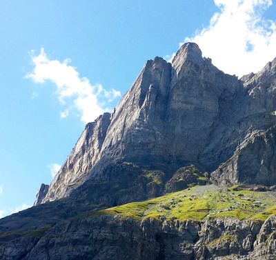
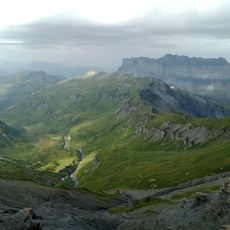
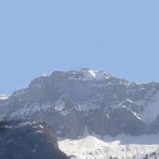
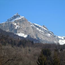
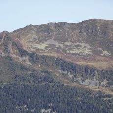
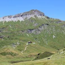
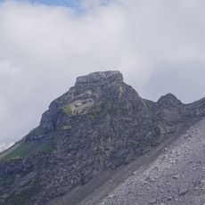
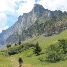
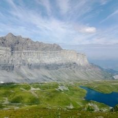
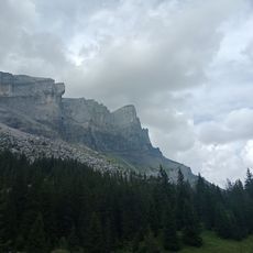
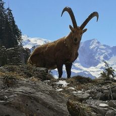
Le Marteau is a mountain summit in the Chaîne des Fiz rising to 2289 meters, composed of sedimentary rock with substantial vertical cliffs. The peak is part of a ridge system shaped by geological forces that exposed these dramatic rock faces over time.
The summit was shaped through geological processes that formed this mountain range over millions of years. A major rockslide in 1471 near the Dérochoir passage altered the landscape by creating a lake that posed risks to communities below.
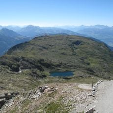
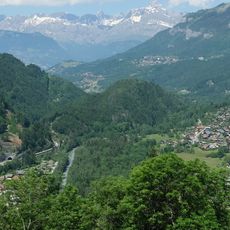
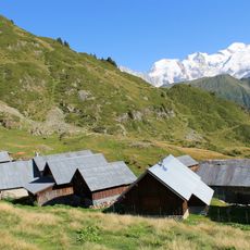
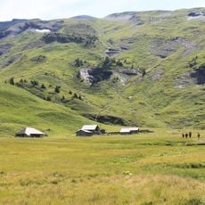
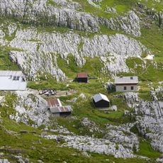
The name of nearby pastures, Salamanes, derives from the Gallic word 'calmis', referring to mountain grazing areas located above forest boundaries.
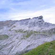
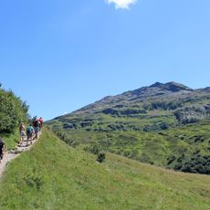
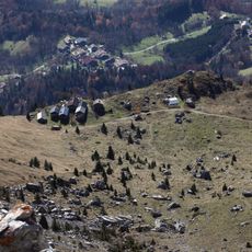
Reaching the summit requires a challenging hike of about 5,5 hours with significant elevation gain starting from the Châtelet d'Ayères parking area. Dry weather is essential as the route involves technical sections with fixed ropes and handrails where climbing experience and sure footing are needed.
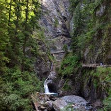
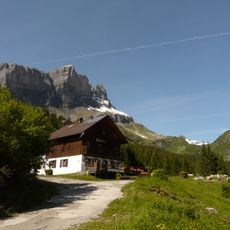
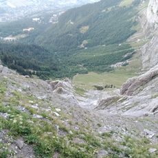
The ascent through the Dérochoir passage features metal cables and handrails built into the rock face, adding a technical climbing element unusual for many mountain hikes. These aids are necessary because the rock walls here are particularly steep and exposed.
The community of curious travelers
AroundUs brings together thousands of curated places, local tips, and hidden gems, enriched daily by 60,000 contributors worldwide.