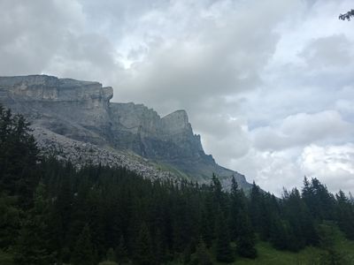
Pointes d'Ayères, Mountain summit in Haute-Savoie, France.
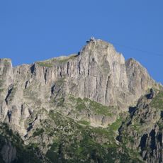
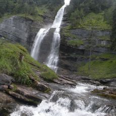
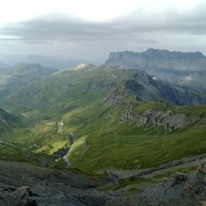
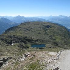
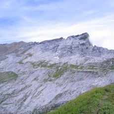
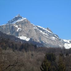
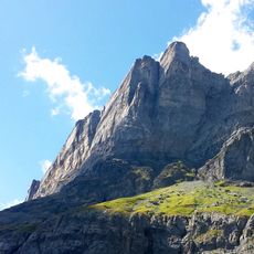
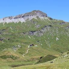
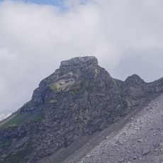
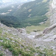
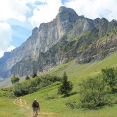
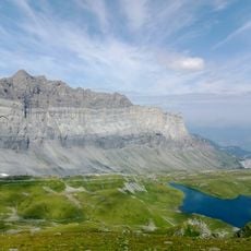
Pointes d'Ayères is a mountain summit located in the Fiz range in Haute-Savoie and stands at roughly 2,600 meters elevation. The peak features limestone cliffs and alpine meadows that characterize its slopes.
The summit marks the historical boundary between the municipalities of Passy and Sixt-Fer-à-Cheval, territories that once fell under the Duchy of Savoy. This geographic division continues to shape the administrative organization of the mountain region today.
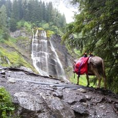
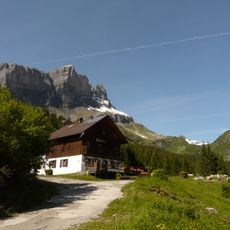
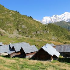
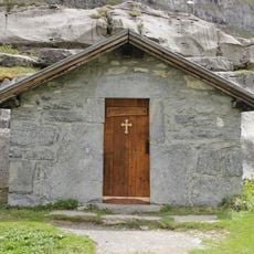
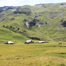
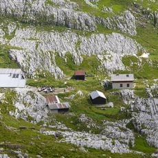
Shepherds in the surrounding alpine chalets produce cheese using traditional methods during summer, a practice that shapes life on the mountain. This seasonal work connects the local community directly to the landscape and its resources.
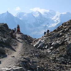
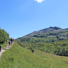
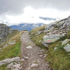
This climb requires solid footing skills and experience, as the terrain is technically demanding and exposed in places. Starting early in the day helps ensure you can retreat safely if weather changes unexpectedly at elevation.
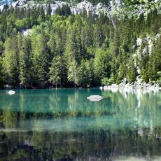
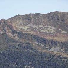
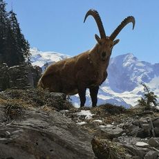
The area contains the Sixt-Passy Nature Reserve, where rare alpine plants and large birds of prey such as golden eagles dwell. Reaching this summit places you in a location with special ecological importance and opportunities to observe wildlife.
The community of curious travelers
AroundUs brings together thousands of curated places, local tips, and hidden gems, enriched daily by 60,000 contributors worldwide.