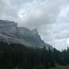
Pointe d'Anterne, Mountain summit in Haute-Savoie, France
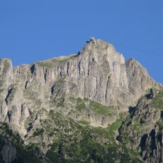
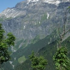
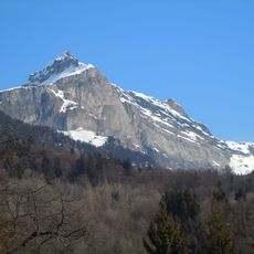
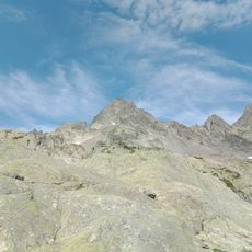
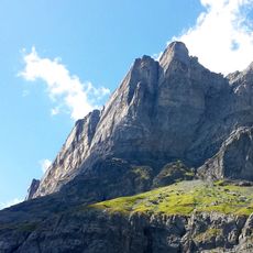
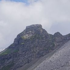
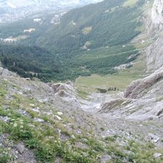
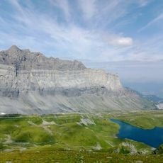
Pointe d'Anterne is a 2,733-metre summit at the eastern end of the Fiz chain, in the Giffre massif of the French Prealps. Its upper part is a steep, blocky crest of layered pale grey rock cut by vertical fissures, with an angular block jutting on the right. Below, a long slope scored by diagonal striations descends to the lower left, dotted with thin green vegetation and a few small snow patches.
Pointe d'Anterne closes the eastern end of the Chaîne des Fiz, in the Giffre massif of the French Prealps. The sources record no founding event or dated episode for the summit itself; its documented identity is topographic, a 2,733-metre peak of Haute-Savoie listed in the Chablais Alps. Its history is that of the borderland ridges between the Giffre and the Chablais.
The summit stands at the eastern end of the Fiz chain, in the Giffre massif, and the surrounding slopes belong to the Rochers des Fiz above Sixt-Fer-à-Cheval. The name Anterne is shared with the nearby col and lake, and the peak is climbed from the valley of Sixt as a high viewpoint over the cirque du Fer-à-Cheval.
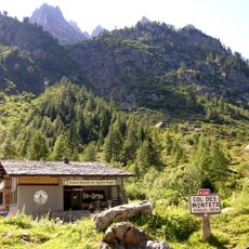
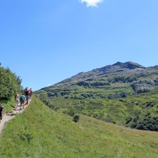
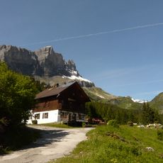
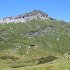
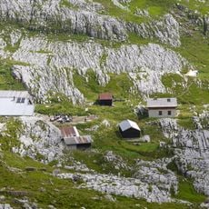
The main hiking access starts from Sixt-Fer-à-Cheval village, where marked trails lead toward the peak. A mountain refuge sits roughly 1.3 kilometers below the summit and offers lodging for those planning an overnight stay.
Pointe d'Anterne marks the eastern end of the Fiz chain, in the Giffre massif of Haute-Savoie. The French and English sources place it differently, in the Giffre massif and in the Chablais Alps respectively, so its exact range assignment is debated. Its 2,733-metre summit is the highest point of that eastern spur.
The community of curious travelers
AroundUs brings together thousands of curated places, local tips, and hidden gems, enriched daily by 92,986 contributors worldwide.