Enable Location

We need your location to show you interesting places around you

Discover nearby places

Find interesting locations and hidden gems around you

Precise directions

Get accurate directions and distances to places

Your location is never shared with other users. It's only used when you tap the location button.

Sixt-Fer-à-Cheval

Log in to your account

Start exploring — it's free

Trusted by 61,474 travelers worldwide

Continue with Google
Continue with Apple
or

We will send you a code to connect

By continuing, you accept our Terms and Conditions and our Privacy Policy

Check your inbox

We've sent a pincode in your inbox. Please enter the code below.

Sixt-Fer-à-Cheval, commune in Haute-Savoie, France

Description

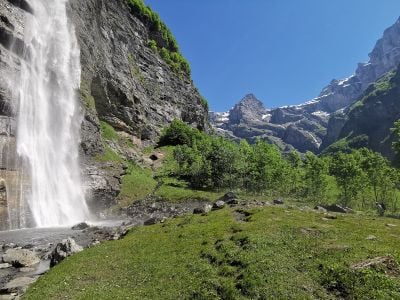
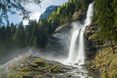
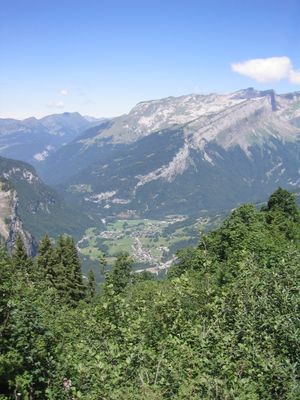
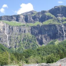
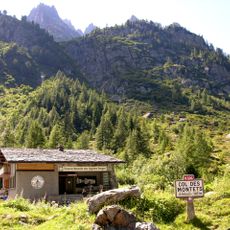
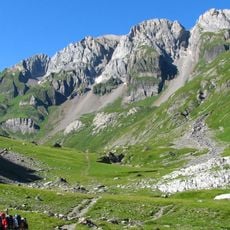
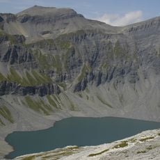
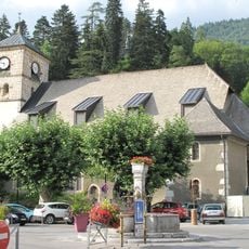
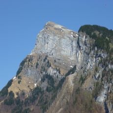
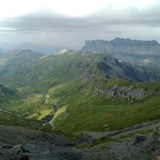
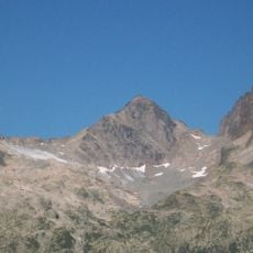
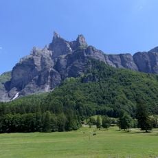
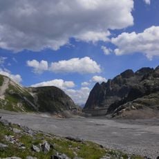
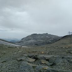
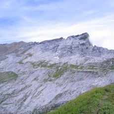
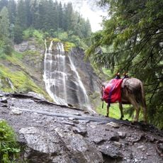
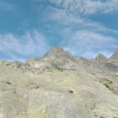
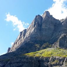
Sixt-Fer-à-Cheval is a mountain village in the French Alps located in Haute-Savoie at about 3300 feet (1000 m) elevation. The settlement spreads across meadows and forests with traditional stone buildings scattered throughout rather than concentrated in a single center.

History

The village originated as a settlement of craftspeople specialized in making horseshoes, which gave it its distinctive name. Over time it transformed into a mountain community focused on forestry and later developed ties to alpine tourism.

Culture

The village name references the horseshoes that were central to local craftsmanship traditions for centuries. This heritage remains visible in how residents value traditional skills and how the community preserves its artisan identity.

Practical

The village is accessible by road from the valley below, though winter conditions can bring snow that affects travel. Bring sturdy hiking boots and layered clothing as mountain weather changes quickly and can be unpredictable.

Did you know?

The village name directly references horseshoes, pointing to an unusual historical focus on that specific craft rather than typical alpine activities. This specialized artisan heritage sets it apart from other mountain settlements that typically developed around mining or agriculture.

Location
Elevation above the sea
1,764 m
Part of
Grand Massif
Shares border with
Arâches-la-Frasse, Passy, Samoëns, Vallorcine
Address
74740 Sixt-Fer-à-Cheval, France
Phone
GPS coordinates
46.05528,6.77556
Latest update
December 14, 2025 17:20

AroundUs brings together thousands of curated places, local tips, and hidden gems, enriched daily by 60,000 contributors worldwide. Discover all places nearby (Canton of Samoëns).

« Sixt-Fer-à-Cheval - commune in Haute-Savoie, France » is provided by Around Us (aroundus.com). Images and texts are derived from Wikimedia project under a Creative Commons license. You are allowed to copy, distribute, and modify copies of this page, under the conditions set by the license, as long as this note is clearly visible.

Discover hidden gems everywhere you go!

From secret cafés to breathtaking viewpoints, skip the crowded tourist spots and find places that match your style. Our app makes it easy with voice search, smart filtering, route optimization, and insider tips from travelers worldwide. Download now for the complete mobile experience.

Around Us App Screenshot

A unique approach to discovering new places

Le Figaro

All the places worth exploring

France Info

A tailor-made excursion in just a few clicks

20 Minutes

Around Us
Travel Guide & Maps
Download

Send to your phone

QR Code
1

Open the camera app on your mobile.

2

Point at the QR code with your camera. A notification will appear.

3

Tap the notification to open the link.