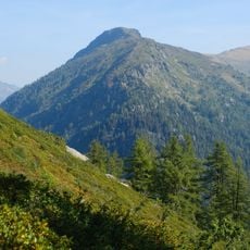
Aiguille du Belvédère, Mountain summit in Aiguilles Rouges range, France
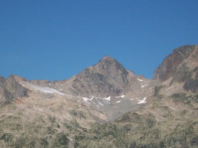
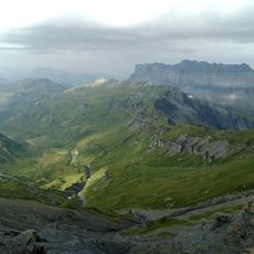
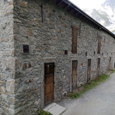
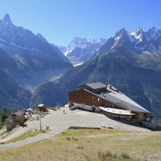
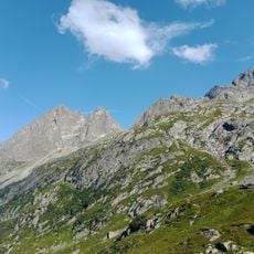
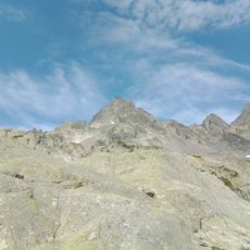
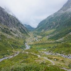
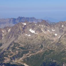
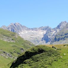
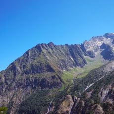
Aiguille du Belvédère is a summit in the Aiguilles Rouges range that stands at around 2,965 meters and offers multiple climbing routes. The peak features rocky terrain and technical passages accessible from the Flégère base station.
The peak became known to mountaineers in the 19th century as climbing developed in the region and served as a testing ground for new techniques. Classic routes were refined over generations by local and visiting climbers seeking experience.
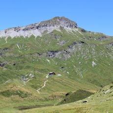
The mountain serves as a training ground for climbers preparing for more demanding peaks in the Mont Blanc massif. Many use it as a stepping stone to test their abilities before tackling harder ascents.
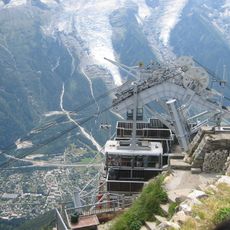
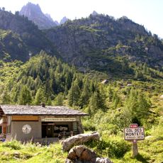
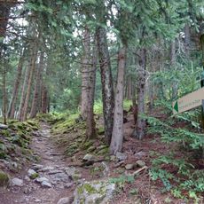
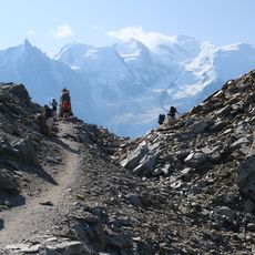
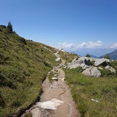
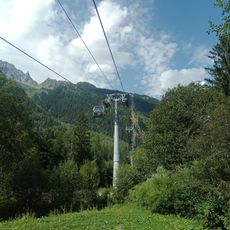
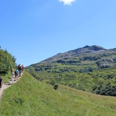
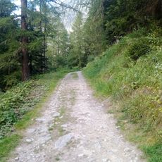
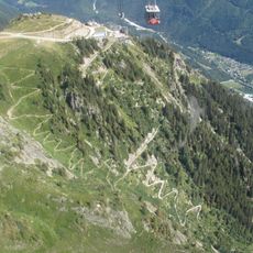
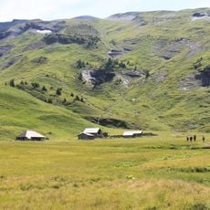
The ascent starts with the Flégère cable car followed by a hike to Lac Blanc and then rocky climbing sections. You will need climbing experience and proper gear for the technical portions of the route.
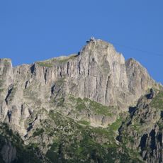
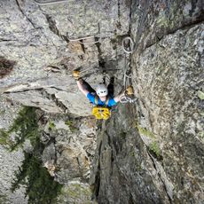
The final section to the summit includes a narrow rock chimney that requires specific climbing skill and is only passable in good conditions. This feature is memorable for many climbers as it combines technical ability with exposure.
Location: Chamonix-Mont-Blanc
Location: Vallorcine
Elevation above the sea: 2,965 m
Part of: Aiguilles Rouges
GPS coordinates: 45.98759,6.87382
Latest update: December 14, 2025 18:41
Le Brévent
6.6 km
Stade Olympique de Chamonix
6.8 km
Téléphérique du Brévent
6 km
Aiguilles Rouges National Nature Reserve
966 m
Chemin du Montenvers
6.5 km
Passy National Nature Reserve
5.5 km
Grand hôtel du Montenvers
6.9 km
Glaciorium
6.9 km
Col du Brévent
5.7 km
Grand Balcon Nord
4.9 km
Télécabine de la Flégère
5.2 km
Téléphérique de la Flégère
5.2 km
Réserve naturelle nationale du vallon de Bérard
1.2 kmCirque des Fonts
5.9 kmViaduc du Montenvers
6.8 km
Aiguille de la Floria
1.4 km
Pointe Noire de Pormenaz
6.5 km
Eau de Bérard
5 km
Névé de l'Index
1.8 km
Chemin Sortie Vallée Blanche
6.3 km
Dards Glacier
494 m
Aiguille à Bochard
6.5 km
Sentier des Gardes
6.5 km
Via Ferrata des Evettes
3 km
Tête de Moëde
5.2 km
Chapelle des Praz-de-Chamonix
5.3 km
Aiguillette des Posettes
6.2 km
Chalets d'Anterne
6.6 kmVisited this place? Tap the stars to rate it and share your experience / photos with the community! Try now! You can cancel it anytime.
Discover hidden gems everywhere you go!
From secret cafés to breathtaking viewpoints, skip the crowded tourist spots and find places that match your style. Our app makes it easy with voice search, smart filtering, route optimization, and insider tips from travelers worldwide. Download now for the complete mobile experience.
A unique approach to discovering new places❞
— Le Figaro
All the places worth exploring❞
— France Info
A tailor-made excursion in just a few clicks❞
— 20 Minutes