Enable Location

We need your location to show you interesting places around you

Discover nearby places

Find interesting locations and hidden gems around you

Precise directions

Get accurate directions and distances to places

Your location is never shared with other users. It's only used when you tap the location button.

Chemin du Montenvers

Log in to your account

Start exploring — it's free

Trusted by 62,992 travelers worldwide

Continue with Google
Continue with Apple
or

We will send you a code to connect

By continuing, you accept our Terms and Conditions and our Privacy Policy

Check your inbox

We've sent a pincode in your inbox. Please enter the code below.

Chemin du Montenvers
Discussion Reviews 2 Photos
1.3k Popularity

Chemin du Montenvers, Mule track in Chamonix-Mont-Blanc, France.

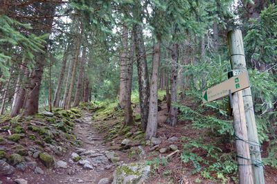
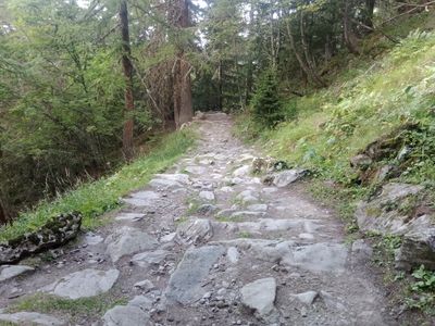
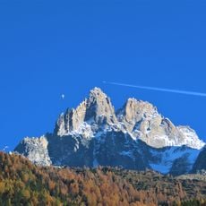
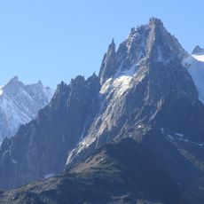
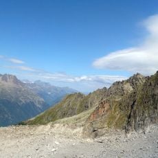
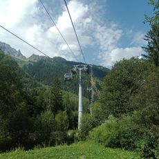
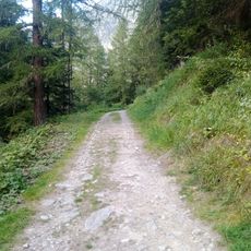
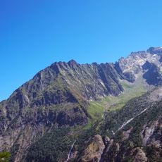
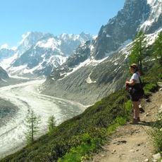
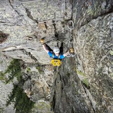
The Chemin du Montenvers is a hiking trail in the French Alps that connects Chamonix to the Mer de Glace glacier through mountain passages and forests. The path rises through dense woodland at lower elevations and gradually opens to exposed terrain with sweeping views of the surrounding peaks and valleys.

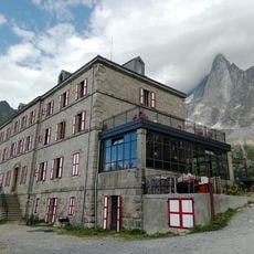
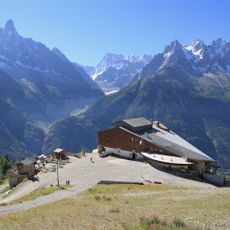
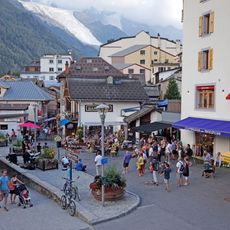
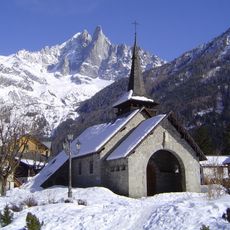
The path originated around 1820 as a transportation route for supplies and early glacier visitors. It marks the beginning of organized Alpine tourism and demonstrates how mountains became destinations for broader audiences.

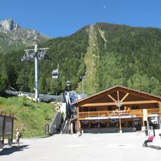
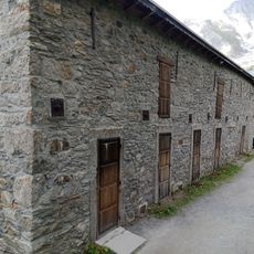
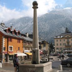
The trail connects Chamonix to mountain communities through its traditional stone construction and use by generations of locals. Today, hikers follow the same paths that once carried supply mules and early mountain explorers heading toward the glacier.

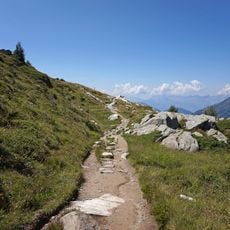
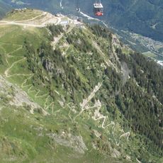
The path is clearly marked with rest areas along the way where visitors can sit and catch their breath. The moderate grade is manageable for those with average fitness, though the exposed upper sections require caution during bad weather or windy conditions.

As you climb higher, you witness the gradual shift in plant life from dense deciduous forests to open mountain meadows. This ecological transformation occurs within a single walk and reveals how dramatically the environment changes with elevation.

The community of curious travelers

AroundUs brings together thousands of curated places, local tips, and hidden gems, enriched daily by 60,000 contributors worldwide.

Start exploring
Inception
1820
GPS coordinates
45.93213,6.89974
Latest update
December 14, 2025 18:10
Reviews
Share your experience

No review yet

Discussions
Start a discussion...

No discussion yet

« Chemin du Montenvers - Mule track in Chamonix-Mont-Blanc, France » is provided by Around Us (aroundus.com). Images and texts are derived from Wikimedia project under a Creative Commons license. You are allowed to copy, distribute, and modify copies of this page, under the conditions set by the license, as long as this note is clearly visible.

Discover hidden gems everywhere you go!

From secret cafés to breathtaking viewpoints, skip the crowded tourist spots and find places that match your style. Our app makes it easy with voice search, smart filtering, route optimization, and insider tips from travelers worldwide. Download now for the complete mobile experience.

Around Us App Screenshot

A unique approach to discovering new places

Le Figaro

All the places worth exploring

France Info

A tailor-made excursion in just a few clicks

20 Minutes

Around Us
Travel Guide & Maps
Download

Send to your phone

QR Code
1

Open the camera app on your mobile.

2

Point at the QR code with your camera. A notification will appear.

3

Tap the notification to open the link.