Enable Location

We need your location to show you interesting places around you

Discover nearby places

Find interesting locations and hidden gems around you

Precise directions

Get accurate directions and distances to places

Your location is never shared with other users. It's only used when you tap the location button.

Chaîne des Fiz

Log in to your account

Start exploring — it's free

Trusted by 62,481 travelers worldwide

Continue with Google
Continue with Apple
or

We will send you a code to connect

By continuing, you accept our Terms and Conditions and our Privacy Policy

Check your inbox

We've sent a pincode in your inbox. Please enter the code below.

Chaîne des Fiz

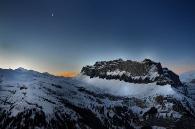
Chaîne des Fiz, mountain in France

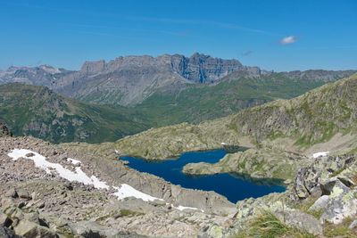
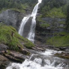
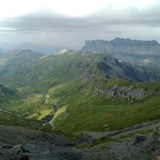
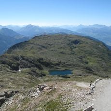
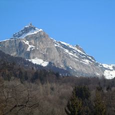
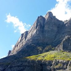
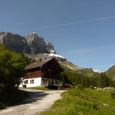
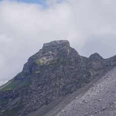
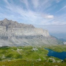
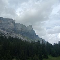
Chaîne des Fiz is a mountain chain featuring limestone formations near Sixt-Fer-à-Cheval in the Passy region, France. It consists of layered sedimentary rock with sharp peaks and steep cliff faces that rise for hundreds of meters, creating numerous passages between the high points.

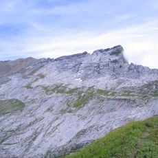
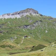
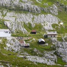
The rocks of the Fiz chain formed during the Cretaceous period and were later uplifted by Alpine mountain building. In 1751, a major rockfall occurred in an area called Dérochoir, killing several people and animals and leaving an enduring change to the landscape.

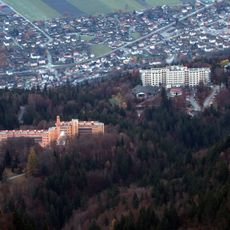
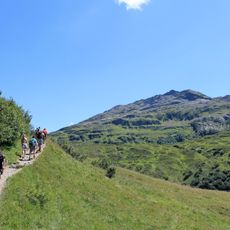
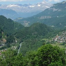
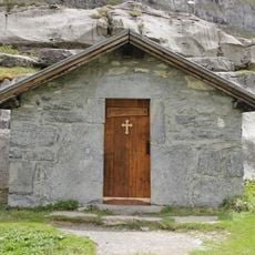
The Fiz chain holds a visible place in the local landscape, shaping how people in Passy and nearby areas experience their surroundings. The cliff face serves as a natural landmark where visitors can experience the relationship between humans and the mountain environment directly.

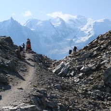
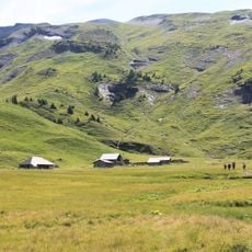
Good hiking boots are necessary as trails go over rocky terrain and some sections can be steep. Water, sun protection, and appropriate clothing are important, especially in warmer months when you want protection from UV exposure and dehydration.

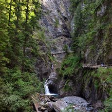
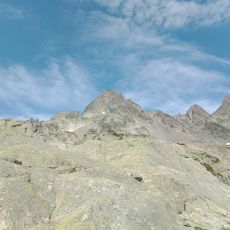
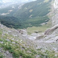
Dérochoir is an area where you can clearly see the effects of the 1751 rockfall, with large blocks and rubble accumulated from the collapse over generations. The irregular rocks and crevasses in this zone offer hikers a tangible insight into the forces that shape mountain landscapes.

The community of curious travelers

AroundUs brings together thousands of curated places, local tips, and hidden gems, enriched daily by 60,000 contributors worldwide.

Start exploring
Location
Elevation above the sea
2,804 m
Made from material
sedimentary rock
Address
GUEBRIANT 74190 Passy
GPS coordinates
45.98445,6.78233
Latest update
February 9, 2026 08:23
« Chaîne des Fiz - mountain in France » is provided by Around Us (aroundus.com). Images and texts are derived from Wikimedia project under a Creative Commons license. You are allowed to copy, distribute, and modify copies of this page, under the conditions set by the license, as long as this note is clearly visible.

Discover hidden gems everywhere you go!

From secret cafés to breathtaking viewpoints, skip the crowded tourist spots and find places that match your style. Our app makes it easy with voice search, smart filtering, route optimization, and insider tips from travelers worldwide. Download now for the complete mobile experience.

Around Us App Screenshot

A unique approach to discovering new places

Le Figaro

All the places worth exploring

France Info

A tailor-made excursion in just a few clicks

20 Minutes

Around Us
Travel Guide & Maps
Download

Send to your phone

QR Code
1

Open the camera app on your mobile.

2

Point at the QR code with your camera. A notification will appear.

3

Tap the notification to open the link.