Passy, Alpine commune in Haute-Savoie, France.
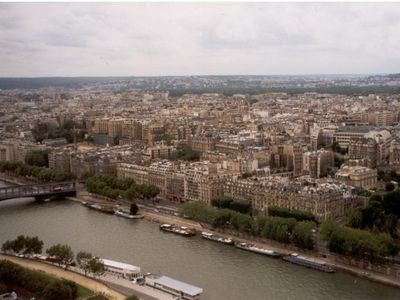
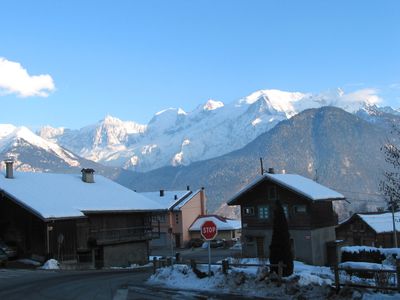
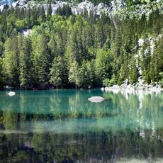
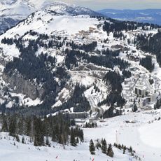
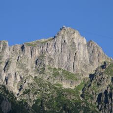
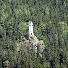
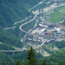
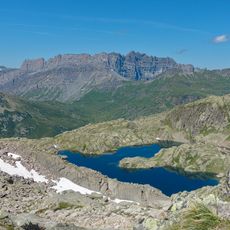
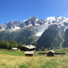
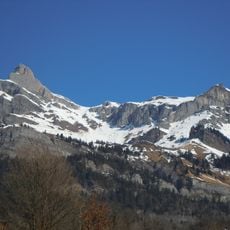
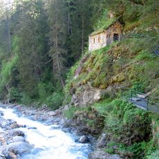
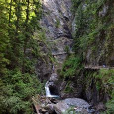
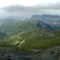
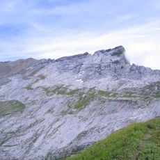
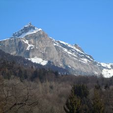
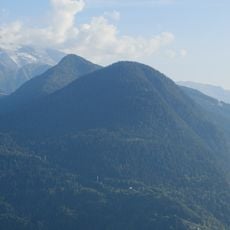
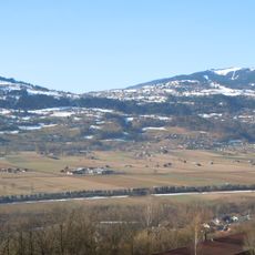
Passy is an Alpine commune in Haute-Savoie, France, positioned at 532 meters elevation between the Arve River valley and the Fiz mountain range. The settlement spreads across diverse terrain including meadows, forests, and wooded slopes that slope toward the river valley below.
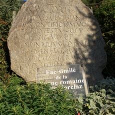
The area was inhabited in Roman times when settlers established a community called Paciacum, from which the modern name derives. This early settlement marked the beginning of continuous habitation in the valley.
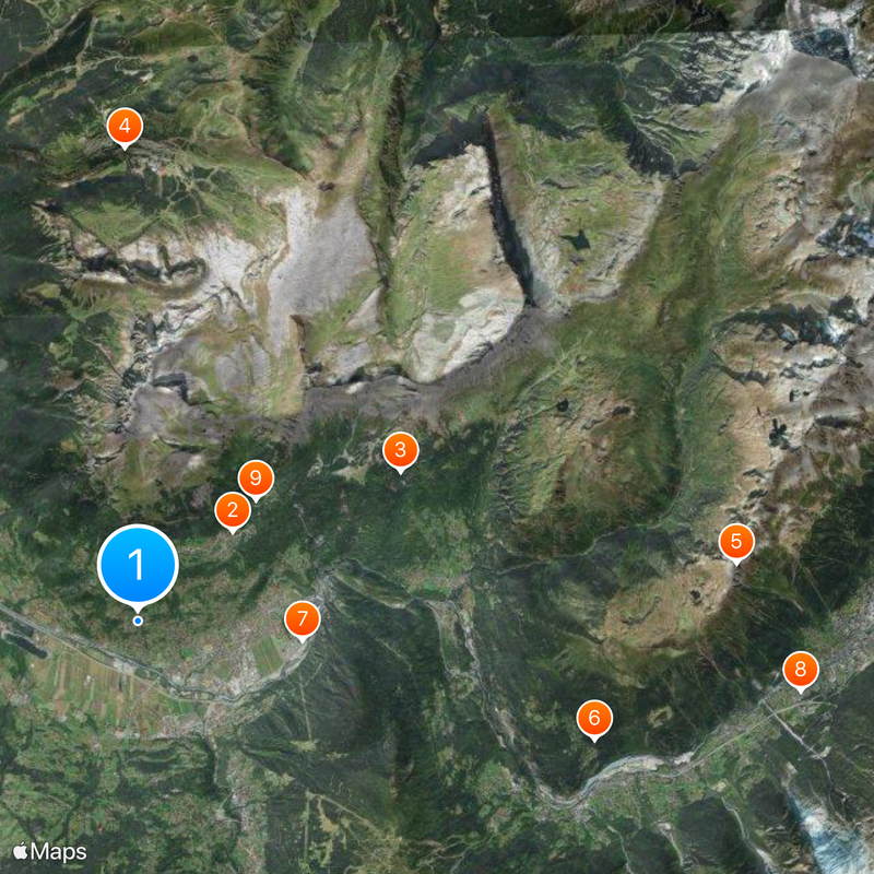
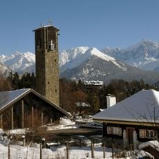
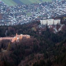
The Plateau d'Assy contains the Notre-Dame-de-Toute-Grace church, constructed between 1937 and 1946, recognized as a historical monument since 2004.
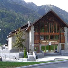
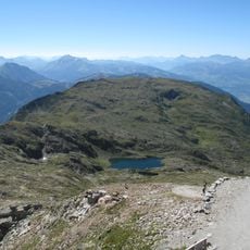
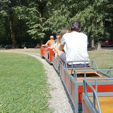
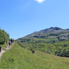
The commune is accessible by road and has local services including a town hall administration at the central square. Visitors will find basic amenities and information about local activities and hiking routes in the surrounding mountains.
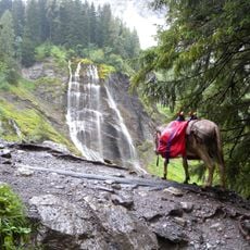
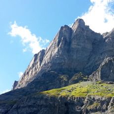
The area hosts an annual mountain literature festival that brings together authors and readers interested in climbing and mountain exploration. This event showcases writing about Alpine life and outdoor adventure, drawing visitors from across the region.
Location: canton of Saint-Gervais-les-Bains
Location: Haute-Savoie
Location: arrondissement of Bonneville
Elevation above the sea: 1,562 m
Shares border with: Chamonix-Mont-Blanc, Domancy, Les Houches, Magland, Saint-Gervais-les-Bains, Sallanches, Servoz, Sixt-Fer-à-Cheval, Vallorcine
Phone: +33450780003
Email: maire@mairie-passy.fr
Website: http://ville-passy-mont-blanc.fr
GPS coordinates: 45.92361,6.68639
Latest update: December 20, 2025 12:51
Église Notre-Dame de Toute Grâce du Plateau d'Assy
2.6 km
Lac Vert
5.9 km
Grand Massif
9.3 km
Le Brévent
11.8 km
Statue of Christ the King
9.2 km
Égratz Viaduct
3.2 km
Chemin de fer aérien de l'Aiguille du Midi
13.1 km
Sanatorium Martel de Janville
3.3 km
Téléphérique du Brévent
13 km
Chaîne des Fiz
10.1 km
Parc animalier de Merlet
10.4 km
Aiguille de Varan
3.8 km
Bon-Nant
1.6 km
Gorges de la Diosaz
8.2 km
Passy National Nature Reserve
10.7 kmChâteau de Charousse
1.2 km
Réserve naturelle nationale de Carlaveyron
9.3 km
Tête du Colonney
5.3 km
Petit Train du Parc Thermal
2.9 km
Inscription romaine du col de la Forclas
2.9 km
Pointe d'Anterne
9.9 kmHôtel Le Flaine
9.1 km
Cascade de la Pleureuse
11.3 km
Pointe de Platé
5.8 km
Tête Noire
4.7 km
Pointe Noire de Pormenaz
9.7 km
Le Marteau
7.5 km
Granges de Passy
1.7 kmVisited this place? Tap the stars to rate it and share your experience / photos with the community! Try now! You can cancel it anytime.
Discover hidden gems everywhere you go!
From secret cafés to breathtaking viewpoints, skip the crowded tourist spots and find places that match your style. Our app makes it easy with voice search, smart filtering, route optimization, and insider tips from travelers worldwide. Download now for the complete mobile experience.
A unique approach to discovering new places❞
— Le Figaro
All the places worth exploring❞
— France Info
A tailor-made excursion in just a few clicks❞
— 20 Minutes