Grenier de Commune, Mountain summit in Haute-Savoie, France
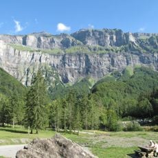
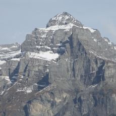
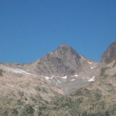
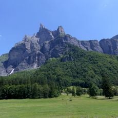
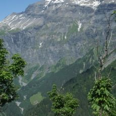
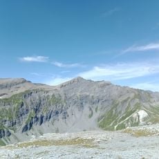
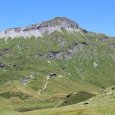
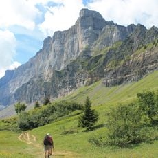
Grenier de Commune is a 2,775 m summit in the Chablais Alps above Sixt-Fer-à-Cheval, Haute-Savoie, formed from Late Jurassic pale limestone. Its broad top is bare grey sedimentary rock with loose slabs and thin traces of snow, and a steep terraced face of dark grey and brown layered rock drops below the snow-capped crest toward evergreen trees. It separates the cirque du Fer-à-Cheval from the harder-to-reach cirque des Fonts.
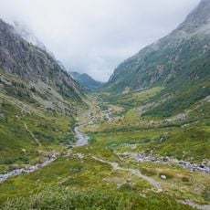
The Grenier de Commune is formed from Late Jurassic pale limestone, a marine sediment laid down when this part of the future Chablais Alps lay under a shallow sea. Tectonic uplift later raised those beds to 2,775 m. The summit separates the cirque du Fer-à-Cheval from the harder-to-reach cirque des Fonts.
The name reflects a tradition of shared mountain use common throughout Alpine communities. These naming choices show how local people have organized grazing and forest rights together for generations.
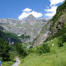
Several marked trails lead from the nearby village of Sixt-Fer-a-Cheval toward the summit, with hiking easiest during the warmer months. In colder seasons, snow and ice may block or slow access, so checking conditions before you go is important.
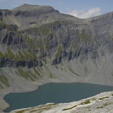
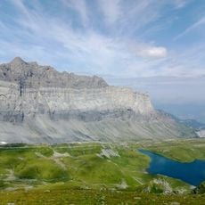
The summit separates the Cirque du Fer-à-Cheval from the harder-to-reach Cirque des Fonts. Its rear face drops 275 metres to a plateau at the level of the Lac du Plan du Buet, and the surrounding Sixt-Passy nature reserve holds many chamois and ibex.
The community of curious travelers
AroundUs brings together thousands of curated places, local tips, and hidden gems, enriched daily by 94,759 contributors worldwide.