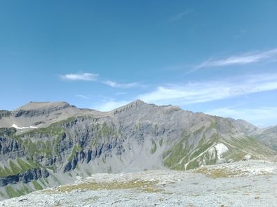
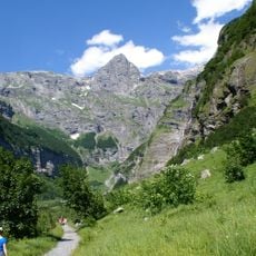
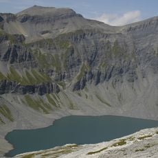
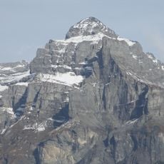
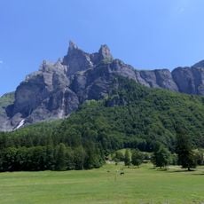
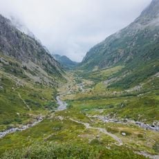
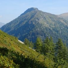
Pointe de la Finive, Mountain summit in Giffre Mountains between Haute-Savoie, France and Valais, Switzerland.
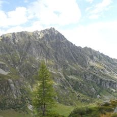
Pointe de la Finive is a summit in the Giffre Mountains that rises to about 2,838 meters and forms the natural boundary between France and Switzerland. The peak sits along a ridge that separates Haute-Savoie from Valais with clear geographic distinction.
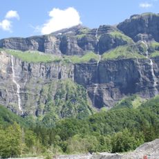
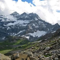
This peak has marked the border between France and Switzerland since the modern boundaries were established in the Alpine region. Its position along the ridge made it a key geographical reference point for both nations over time.
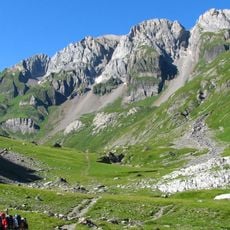
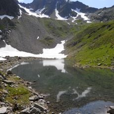
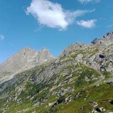
Climbers from both France and Switzerland have used these routes for generations, creating a shared mountain culture across the border. Local knowledge about the best paths and techniques passes down through alpine communities on each side.
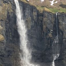
Climbers need advanced mountaineering skills, proper gear, and solid experience in alpine terrain to reach this summit safely. Weather in these high regions changes rapidly, so planning ahead and staying alert during the climbing season is important.
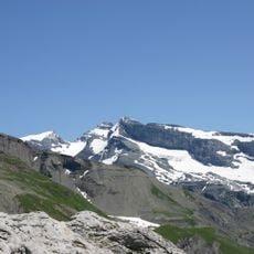
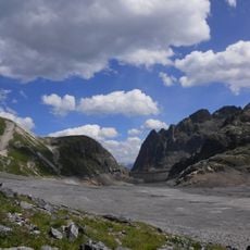
Multiple peaks line this ridge, which explains why different height measurements exist for the summit. Mapmakers have recorded various elevations depending on which peak they considered the highest point.
The community of curious travelers
AroundUs brings together thousands of curated places, local tips, and hidden gems, enriched daily by 60,000 contributors worldwide.