Tête de Balme, Border mountain in Haute-Savoie, France and Valais, Switzerland
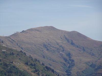
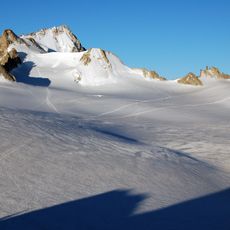
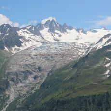
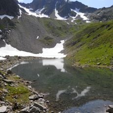
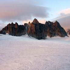
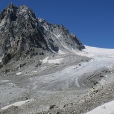
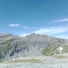
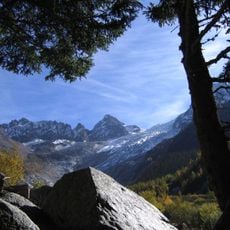
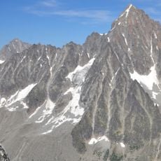
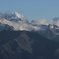
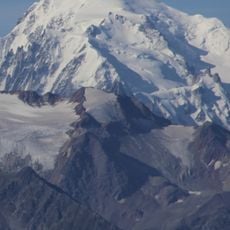
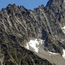
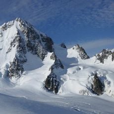
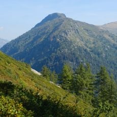
Tête de Balme is a mountain summit situated on the border between France and Switzerland, rising to 2,321 meters (7,615 feet). From the top, views stretch across the Chamonix Valley and toward countless Alpine peaks on both sides of the frontier.
This peak has marked a territorial boundary between French and Swiss lands since the Middle Ages, shaping commerce and movement across the Alps. The border line itself was formally established through treaties over multiple centuries.
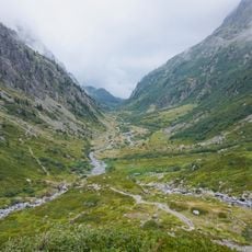
The name Balme comes from an old word for cave or shelter, reflecting how herders have used these slopes for centuries to access summer pastures. Walking through the meadows here, you can still see how the landscape is shaped by traditional grazing patterns.
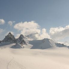
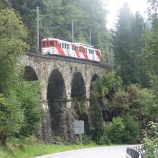
Cable cars and chairlifts from Le Tour village take you up toward the summit, though the final stretch involves hiking on mountain trails. The route works best in summer and early fall when snow cover disappears and the paths are clear.
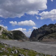
Stone boundary markers sit along the hiking paths here, physically showing where France ends and Switzerland begins. These markers come from different periods in history and reveal how the border was repeatedly confirmed and adjusted.
The community of curious travelers
AroundUs brings together thousands of curated places, local tips, and hidden gems, enriched daily by 60,000 contributors worldwide.