Pic de Tenneverge

Log in to your account

AroundUs is a community-driven map of interesting places, built by curious explorers like you. It grows with every review, story, and photo you share.
Connect to save your favorite spots, contribute locations, and create personalized routes.
Continue with Google
Continue with Apple
Continue with X
Continue with Facebook
Continue with email
By continuing, you accept our Terms and Conditions and our Privacy Policy
Create an account

Pic de Tenneverge

Add to collection
Map
Suggest a change
Share

Pic de Tenneverge, Mountain summit in Chablais Massif, France and Switzerland.

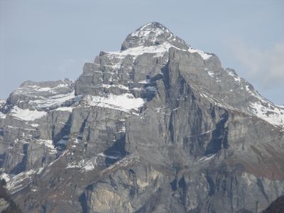
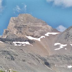
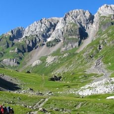
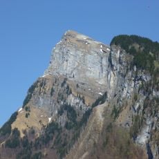
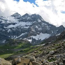
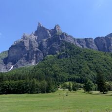
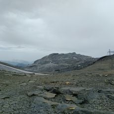
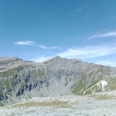
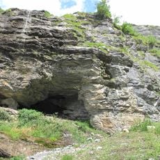
Pic de Tenneverge is a 2,985 meter summit composed of sedimentary rock with distinct geological patterns visible across its face. The rock layers show clear variations that reveal the mountain's complex geological history.

The mountain marks a natural border between France and Switzerland, with its peak positioned about 300 meters west of the international boundary. This location has made it a geographic reference point for both nations.

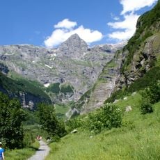
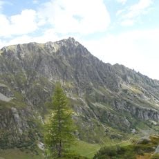
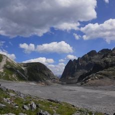
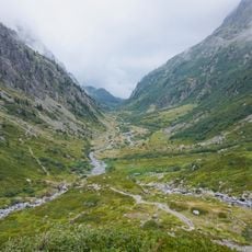
The mountain connects two regions with different traditions: the French Haute-Savoie department and the Swiss canton of Valais through mountain paths. People from both countries use these routes to move between communities and share outdoor experiences.

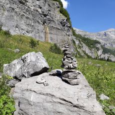
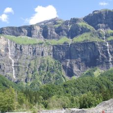
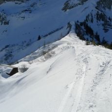
Experienced hikers can reach the summit through a T5-classified alpine trail that demands advanced skills and proper safety equipment. Good weather conditions and physical preparation are essential for a safe ascent.

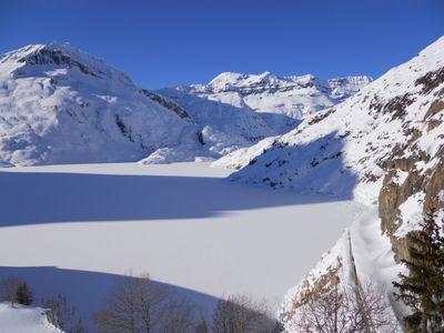
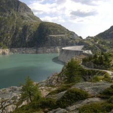
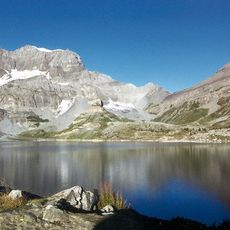
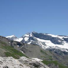
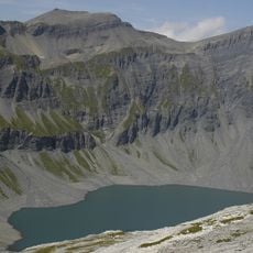
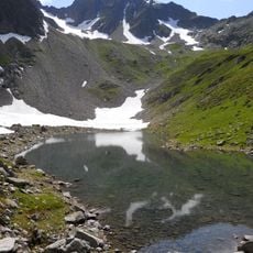
The peak ranks fourth in height among the mountains within the Réserve naturelle de Sixt-Passy and offers views of both Sixt-Fer-à-Cheval valley and Lac d'Emosson from its summit. From this vantage point, visitors can see two distinctly different landscapes in a single panorama.

Location: Haute-Savoie

Location: Canton of Valais

Elevation above the sea: 2,985 m

Made from material: sedimentary rock

Website: http://geodesie.ign.fr/fiches/index.php?module=e&action=fichepdf&source=carte&sit_no=7427308

GPS coordinates: 46.09415,6.87935

Latest update: December 14, 2025 18:07

Photos
Reviews

Visited this place? Tap the stars to rate it and share your experience / photos with the community! Try now! You can cancel it anytime.

« Pic de Tenneverge - Mountain summit in Chablais Massif, France and Switzerland » is provided by Around Us (aroundus.com). Images and texts are derived from Wikimedia project under a Creative Commons license. You are allowed to copy, distribute, and modify copies of this page, under the conditions set by the license, as long as this note is clearly visible.

Discover hidden gems everywhere you go!

From secret cafés to breathtaking viewpoints, skip the crowded tourist spots and find places that match your style. Our app makes it easy with voice search, smart filtering, route optimization, and insider tips from travelers worldwide. Download now for the complete mobile experience.

Around Us App Screenshot

A unique approach to discovering new places

Le Figaro

All the places worth exploring

France Info

A tailor-made excursion in just a few clicks

20 Minutes