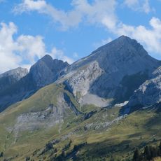
Tête de la Forclaz, Alpine summit in Le Reposoir and Sallanches, France.
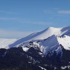
Tête de la Forclaz is a summit in the Aravis mountain range located between Sallanches and Le Reposoir, rising above the Arve Valley. Multiple marked trails lead to the peak from different starting points, including routes from Col de la Forclaz and nearby hamlets.
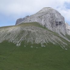
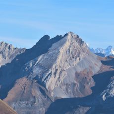
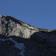
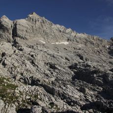
The summit formed during the geological development of the Northern Alps in the Secondary Era, composed of sedimentary rock layers characteristic of that time. These rock formations reveal how tectonic forces shaped this region over millions of years.
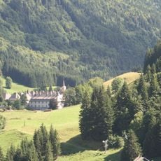
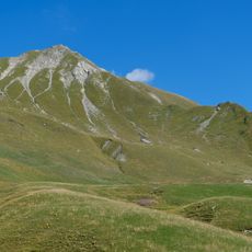
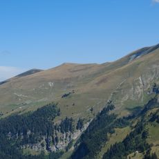
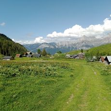
Local shepherds use the surrounding meadows as pasture for their herds, maintaining a way of life that shapes how the landscape looks and feels throughout the year.
Several hiking routes lead to the summit with varying difficulty levels, departing from different locations around the area. Planning your route in advance helps you choose the option that best fits your fitness level and available time.
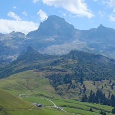
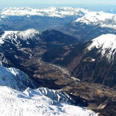
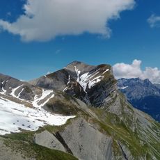
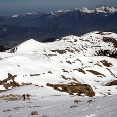
From this vantage point, you can see Mont Blanc, the Arve Valley, and the surrounding Aravis peaks all at once. This wide panorama is one of the reasons visitors seek out this particular location.
Location: Le Reposoir
Location: Sallanches
Elevation above the sea: 2,432 m
GPS coordinates: 45.98092,6.57294
Latest update: December 14, 2025 20:25
Chartreuse du Reposoir
3.9 km
Pointe Percée
3.1 km
Glacier de l'Arve
4.2 km
Cascade de l'Arpenaz
5.4 km
Cluse de l'Arve
6.7 km
Église de Sallanches
6.4 km
Pointe d'Areu
617 m
Mont fleuri
6.2 km
Quatre Têtes
3 km
Maison forte de Loche
5.8 km
Mont Charvet
5 km
Pointe de Bella Cha
1.3 km
Pointe d'Almet
3.9 km
Pointe de Grande Combe
4.6 km
Chapelle Notre-Dame-de-la-Paix-du-Monde de Sallanches
1.8 km
Petit Bargy
6.5 km
Tête de la Sallaz
3.3 km
Pointe de Deux Heures
6.2 km
Tête du Château
593 m
Pointe du Château
1.8 km
Tête d'Auferrand
6.9 km
Pointe de Chombas
4.3 km
Chapelle de l'Immaculée-Conception de Sallanches
6.3 km
Pointe des Verts
3.9 km
Pointes longues
959 m
Église Saint-Maurice de Magland
5.7 km
Chapelle Sainte-Marie-Madeleine de Pernant
6.7 km
Chapelle Notre-Dame, Saint-Guérin, Saint-Grat et Bienheureux-Jean-d'Espagne de la Duche
5.6 kmVisited this place? Tap the stars to rate it and share your experience / photos with the community! Try now! You can cancel it anytime.
Discover hidden gems everywhere you go!
From secret cafés to breathtaking viewpoints, skip the crowded tourist spots and find places that match your style. Our app makes it easy with voice search, smart filtering, route optimization, and insider tips from travelers worldwide. Download now for the complete mobile experience.
A unique approach to discovering new places❞
— Le Figaro
All the places worth exploring❞
— France Info
A tailor-made excursion in just a few clicks❞
— 20 Minutes