Chest opened
+${chestReward.xp} XP
Explorer
NOUVEAU ×${chestReward.collectible.quantity}
tapez pour fermer
Chest locked

Open chests in the app

Around Us is built for your phone — chests unlock when you walk, explore and capture nearby places.

Enable Location

We need your location to show you interesting places around you

Discover nearby places

Find interesting locations and hidden gems around you

Precise directions

Get accurate directions and distances to places

Your location is never shared with other users. It's only used when you tap the location button.

Log in to your account

Start exploring — it's free

Trusted by 72,881 travelers worldwide

Continue with Google
Continue with Apple
or

We will send you a code to connect

By continuing, you accept our Terms and Conditions and our Privacy Policy

Check your inbox

We've sent a pincode in your inbox. Please enter the code below.

Pointe des Arbennes
Discussion Reviews Photo
30+ Popularity

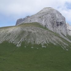
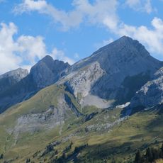
Pointe des Arbennes, Mountain summit in the Aravis range, France

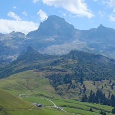
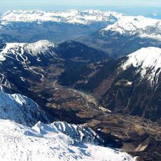
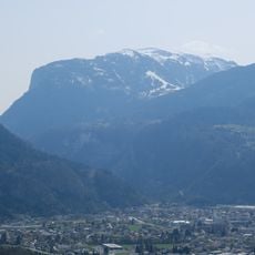
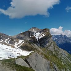
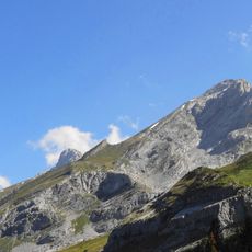
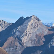
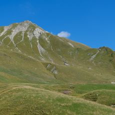
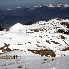
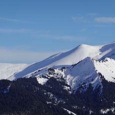
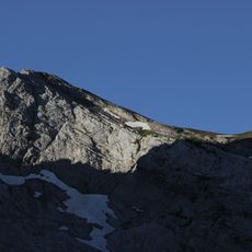
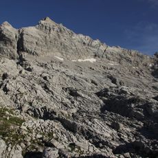
Pointe des Arbennes is a mountain summit in the Aravis range that stands at 2478 meters and offers sweeping views of surrounding peaks. From the top, you can see across toward Mont Blanc, the rest of the Aravis Massif, and the Fiz mountains in the distance.

The name Pointe des Arbennes comes from 'Arbenne', a local dialect word that referred to white partridges once found on these slopes. This connection between language and wildlife shows how the birds were significant enough to leave their mark on the mountain's name.

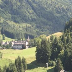
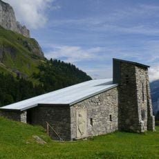
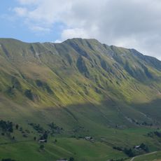
Shepherds still use the Méry pastures below the summit for their herds, a practice that has shaped how people live and work in this mountain region. This Alpine farming remains woven into the daily life and identity of those who call these mountains home.

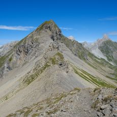
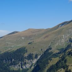
The climb from the La Lanche parking area typically takes 3 to 4 hours and covers a demanding route with significant elevation gain throughout. Starting early in the day is important to ensure you have enough daylight for both the climb and descent.

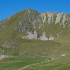
The summit appears on different maps under two separate names: Pointe des Arbennes and Pointe d'Areu. This dual naming can create confusion for hikers navigating the area and requires attention when planning the route.

The community of curious travelers

AroundUs brings together thousands of curated places, local tips, and hidden gems, enriched daily by 60,000 contributors worldwide.

Start exploring
Elevation above the sea
2,265 m
GPS coordinates
45.98174,6.57649
Latest update
December 15, 2025 13:24
Reviews
Share your experience

No review yet

Discussions
Start a discussion...

No discussion yet

« Pointe des Arbennes - Mountain summit in the Aravis range, France » is provided by Around Us (aroundus.com). Images and texts are derived from Wikimedia project under a Creative Commons license. You are allowed to copy, distribute, and modify copies of this page, under the conditions set by the license, as long as this note is clearly visible.

Discover hidden gems everywhere you go!

From secret cafés to breathtaking viewpoints, skip the crowded tourist spots and find places that match your style. Our app makes it easy with voice search, smart filtering, route optimization, and insider tips from travelers worldwide. Download now for the complete mobile experience.

Around Us App Screenshot

A unique approach to discovering new places

Le Figaro

All the places worth exploring

France Info

A tailor-made excursion in just a few clicks

20 Minutes

Around Us
Travel Guide & Maps
Download

Send to your phone

QR Code
1

Open the camera app on your mobile.

2

Point at the QR code with your camera. A notification will appear.

3

Tap the notification to open the link.