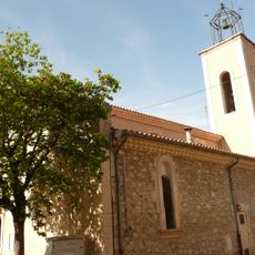
Pic de l'Aigle, Mountain peak in Diois-Baronnies-Luberon massif, France.
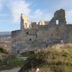
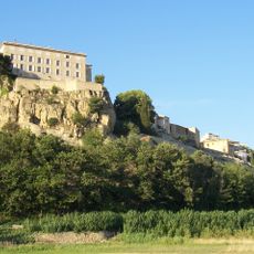
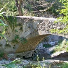
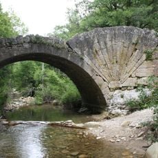
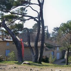
Pic de l'Aigle is a mountain peak set within the limestone Baronnies massif, featuring steep rocky slopes and exposed stone faces at roughly 630 meters elevation. The summit sits as a prominent landmark in the landscape with distinctive cliff formations that serve as a natural waypoint for hikers exploring the region.
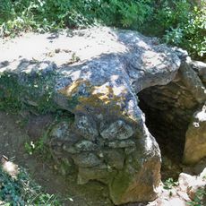
The summit took shape through geological processes during the Tertiary period, when tectonic movements formed the limestone massif. This deep geological history remains visible in the rock layers that make up the mountain's structure.
Local hikers gather each spring at Pic de l'Aigle to observe the migration patterns of raptors crossing through the region.
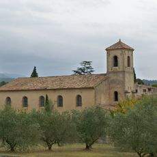
The main approach starts from Ménerbes on a marked trail that winds up the northern slopes toward the summit. Bring sturdy footwear since exposed rock sections can be slippery in wet conditions, and check the weather before heading out.
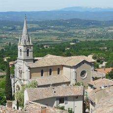
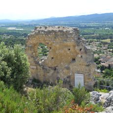
On clear days, the summit reveals a sweeping view where three distant mountain ranges appear at once - the Vaucluse mountains, Mont Ventoux, and the Luberon relief stretch across the horizon. This simultaneous view of multiple ranges surprises many visitors who expect a more limited vista.
The community of curious travelers
AroundUs brings together thousands of curated places, local tips, and hidden gems, enriched daily by 60,000 contributors worldwide.