Chest opened
+${chestReward.xp} XP
Explorer
NOUVEAU ×${chestReward.collectible.quantity}
tapez pour fermer
Chest locked

Open chests in the app

Around Us is built for your phone — chests unlock when you walk, explore and capture nearby places.

Enable Location

We need your location to show you interesting places around you

Discover nearby places

Find interesting locations and hidden gems around you

Precise directions

Get accurate directions and distances to places

Your location is never shared with other users. It's only used when you tap the location button.

Log in to your account

Start exploring — it's free

Trusted by 72,941 travelers worldwide

Continue with Google
Continue with Apple
or

We will send you a code to connect

By continuing, you accept our Terms and Conditions and our Privacy Policy

Check your inbox

We've sent a pincode in your inbox. Please enter the code below.

Crête de l'Ane
Discussion Reviews Photo
30+ Popularity

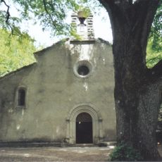
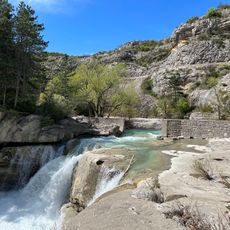
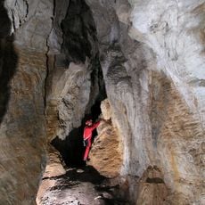
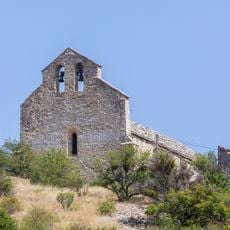
Crête de l'Ane, Mountain summit in Hautes-Alpes, France

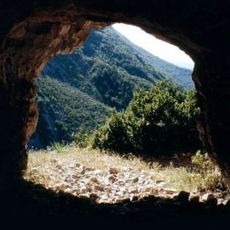
Crête de l'Ane is a summit rising to 973 meters in the Hautes-Alpes, forming a distinct limestone ridge within Baronnies Regional Natural Park. The peak has grassland slopes mixed with scattered woodland that gives it a varied appearance from different angles.

Shepherds have used the slopes for grazing over many centuries, establishing traditional routes across the mountain that remain visible today. This pastoral use shaped the landscape into what visitors see now.

The name translates to Donkey's Crest, rooted in a regional tradition of naming geographical features after animals they resemble. Locals still use this name when describing hikes in the area.

The trail from Ribiers is well marked and climbs steadily, requiring good physical fitness due to the elevation gain. The best conditions are during warmer months when snow has melted and paths are dry.

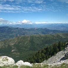
The southwestern facing slope was traditionally favored by shepherds for protection from northern winds and better grazing. From this vantage point, the view stretches widely across the Durance Valley toward the distant mountain ranges.

The community of curious travelers

AroundUs brings together thousands of curated places, local tips, and hidden gems, enriched daily by 60,000 contributors worldwide.

Start exploring
Elevation above the sea
973 m
GPS coordinates
44.20547,5.77400
Latest update
December 15, 2025 13:25
Reviews
Share your experience

No review yet

Discussions
Start a discussion...

No discussion yet

« Crête de l'Ane - Mountain summit in Hautes-Alpes, France » is provided by Around Us (aroundus.com). Images and texts are derived from Wikimedia project under a Creative Commons license. You are allowed to copy, distribute, and modify copies of this page, under the conditions set by the license, as long as this note is clearly visible.

Discover hidden gems everywhere you go!

From secret cafés to breathtaking viewpoints, skip the crowded tourist spots and find places that match your style. Our app makes it easy with voice search, smart filtering, route optimization, and insider tips from travelers worldwide. Download now for the complete mobile experience.

Around Us App Screenshot

A unique approach to discovering new places

Le Figaro

All the places worth exploring

France Info

A tailor-made excursion in just a few clicks

20 Minutes

Around Us
Travel Guide & Maps
Download

Send to your phone

QR Code
1

Open the camera app on your mobile.

2

Point at the QR code with your camera. A notification will appear.

3

Tap the notification to open the link.