
Plateau d'Hauteville, municipality in France
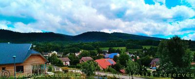
Plateau d'Hauteville is a small municipality in the Ain department of the Auvergne-Rhône-Alpes region, formed by merging several villages in 2019. The area spreads across gentle hills with fields, forests, and small clusters of houses, crisscrossed by streams like the Albarine and situated at an average elevation of about 800 meters (2,600 feet).
The region was established as a separate administrative territory in 1801 and underwent several boundary changes over time. The current form of Plateau d'Hauteville emerged in 2019 when four municipalities merged, creating a unified administrative entity and strengthening the local community.
The name Plateau d'Hauteville comes from the central town that anchors the region and preserves traditional ways. Walking through the area, you encounter residents with deep roots here and local markets filled with fresh products like cheese, seasonal fruits, and artisanal bread.
Walking paths in this area are usually well-marked and easy to navigate, with several shelters and restaurants serving regional food along the way. The mild climate with moderate summers makes walking comfortable during most of the year.
One of the most striking sites is the former Abbey of Saint-Sulpice, protected as a historic monument and revealing deep historical roots in the area. Additionally, the region sits within 30 kilometers of a UNESCO World Heritage site featuring prehistoric pile dwelling settlements around the Alps, testament to very ancient human habitation in this place.
Location: Belley
Inception: January 1, 2019
Address: 01110 Plateau d'Hauteville, France
GPS coordinates: 45.93034,5.57738
Latest update: December 8, 2025 10:05
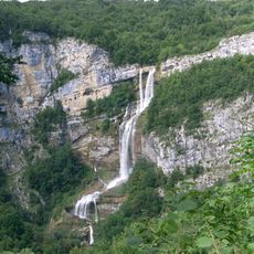
Cascade de la Charabotte
4.1 km
Château d'Angeville
6.6 km
Abbaye de Saint-Sulpice
3.7 km
Gorges de l'Albarine
3.6 km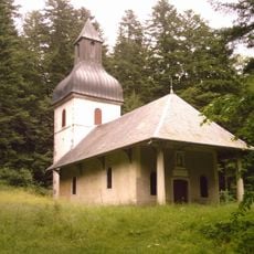
Chapel of Mazières
6 km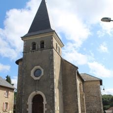
Église Sainte-Marie-Madeleine de Prémillieu
6.3 km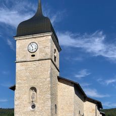
Église de l'Assomption de Thézillieu
4.4 km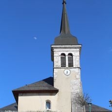
Église Notre-Dame de l'Assomption de Hauteville
5.6 km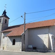
Église Saint-Pierre de Longecombe
2.9 km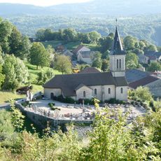
Église Saint-Laurent d'Hostiaz
4.6 km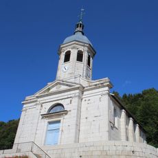
Église Saint-Martin de Cormaranche-en-Bugey
3.8 km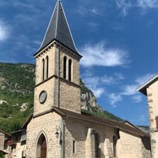
Église de l'Assomption de Chaley
4.5 km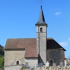
Église Saint-Étienne de Lacoux
4.7 km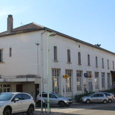
Town hall of Hauteville-Lompnes
5.5 km
Cinéma Novelty
5.6 km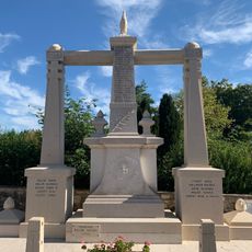
War memorial of Thézillieu
4.4 km
War memorial of Hauteville
5.5 km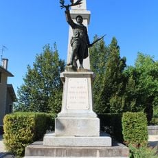
War memorial of Cormaranche-en-Bugey
3.6 km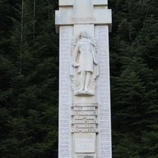
War memorial of Resistance in Valromey
5.5 km
Town hall of Chaley
4.6 km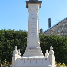
War memorial of Lompnes
6.1 km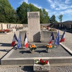
War memorial of Prémillieu
6.5 km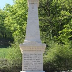
War memorial of Lacoux
5.1 km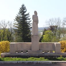
World War II memorial of Hauteville-Lompnes
5.9 km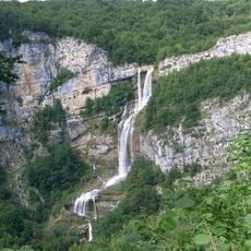
Gorges de l'Albarine et cluse des Hôpitaux
5.1 km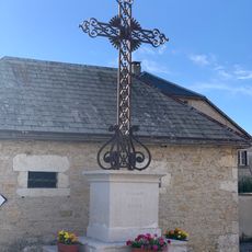
Croix de la Route du Champ
4.3 km
Town hall of Prémillieu
6.2 km
Ancienne mairie de Lacoux
5 kmVisited this place? Tap the stars to rate it and share your experience / photos with the community! Try now! You can cancel it anytime.
Discover hidden gems everywhere you go!
From secret cafés to breathtaking viewpoints, skip the crowded tourist spots and find places that match your style. Our app makes it easy with voice search, smart filtering, route optimization, and insider tips from travelers worldwide. Download now for the complete mobile experience.

A unique approach to discovering new places❞
— Le Figaro
All the places worth exploring❞
— France Info
A tailor-made excursion in just a few clicks❞
— 20 Minutes