
Défilé de Malarage, gorge et aire protégée en France
Location: Creys-Mépieu
Location: Lhuis
Elevation above the sea: 210 m
Length: 550 m
Width: 40 m
GPS coordinates: 45.74165,5.50085
Latest update: April 11, 2025 17:13
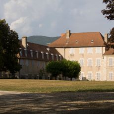
Château de Brangues
5.2 km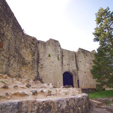
Château de Groslée
5.6 km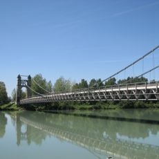
Pont de Groslée
4.9 km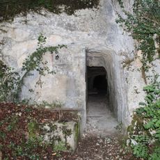
Aqueduc romain de Briord
5.9 km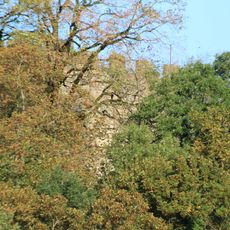
St. Andrew's Castle
4 km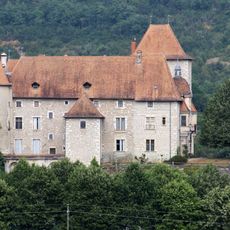
Château de Mérieu
697 m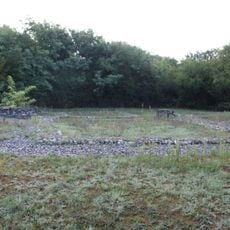
Nécropole gallo-romaine et mérovingienne des Plantées
5.9 km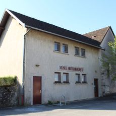
Musée de la société d'histoire et d'archéologie de Briord
5.6 km
Église de l'Assomption de Lhuis
2.7 km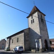
Église Saint-Jean-Baptiste de Briord
5.6 km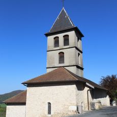
Église Saint-Maurice de Marchamp
5.9 km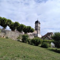
Église Saint-Pierre-ès-Liens de Brangues
5.7 km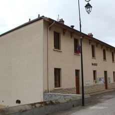
Town hall of Marchamp
5.5 km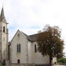
Église Saint-Pierre de Mépieu
4.2 km
Église Saint-Maurice de Creys
1.8 km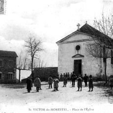
Église Saint-Victor de Saint-Victor-de-Morestel
5.5 km
Town hall of Briord
5.6 km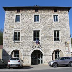
Town hall of Lhuis
2.7 km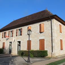
Town hall of Groslée
6.2 km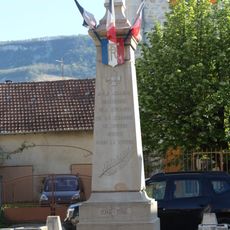
War memorial of Briord
5.6 km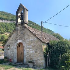
Chapelle de Crept
5 km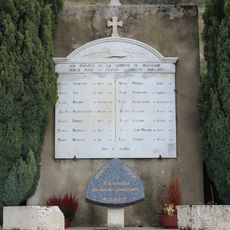
War memorial of Marchamp
5.8 km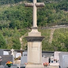
Cemetery cross of Montagnieu
5.9 km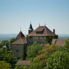
Château de Montagnieu
6 km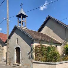
Chapelle de Vercraz
4.6 km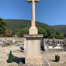
Cemetery cross of Lhuis
2.8 km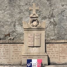
War memorial of Cemetery of Montagnieu
5.9 km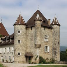
Château de Mépieu
4.2 kmReviews
Visited this place? Tap the stars to rate it and share your experience / photos with the community! Try now! You can cancel it anytime.
Discover hidden gems everywhere you go!
From secret cafés to breathtaking viewpoints, skip the crowded tourist spots and find places that match your style. Our app makes it easy with voice search, smart filtering, route optimization, and insider tips from travelers worldwide. Download now for the complete mobile experience.

A unique approach to discovering new places❞
— Le Figaro
All the places worth exploring❞
— France Info
A tailor-made excursion in just a few clicks❞
— 20 Minutes