Delta de la Leyre

Log in to your account

AroundUs is a community-driven map of interesting places, built by curious explorers like you. It grows with every review, story, and photo you share.
Connect to save your favorite spots, contribute locations, and create personalized routes.
Continue with Google
Continue with Apple
Continue with X
Continue with Facebook
Continue with email
By continuing, you accept our Terms and Conditions and our Privacy Policy
Create an account
Add to collection
Map
Suggest a change
Share

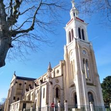
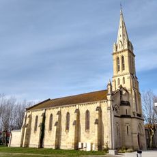
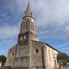
Delta de la Leyre, Wetland conservation area in Nouvelle-Aquitaine, France

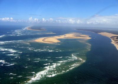
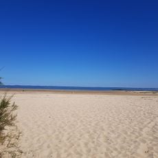
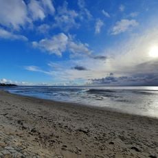
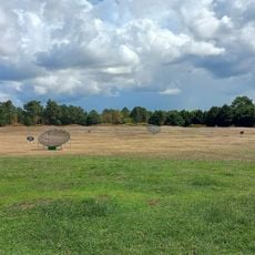
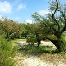
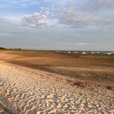
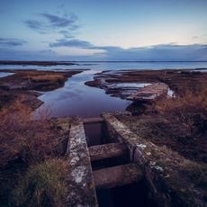
Delta de la Leyre is a wetland spanning five municipalities where freshwater and saltwater meet at the river's mouth. The area features a network of waterways, marshes, and sandbars that together create a complex landscape.

The river changed its course significantly in the 18th century, shifting from a linear path to the winding pattern visible today. This geological transformation reshaped the delta's structure and ecological conditions over time.

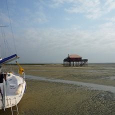
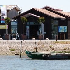
Local ports display traditional wooden structures used for oyster farming, reflecting the maritime heritage that shapes daily life here. These working spaces remain central to how people interact with the water and manage their livelihoods.

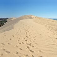
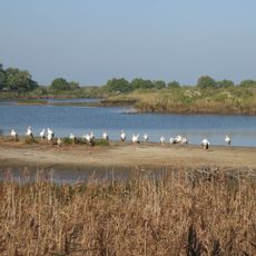
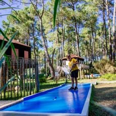
Visitors can explore the area on foot, by canoe, or through guided birdwatching activities available year-round. Facilities are adapted for different mobility needs, though some areas are easier to reach during certain seasons.

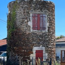
The soil near the delta's mouth is clay-rich and was historically used for brick and tile manufacturing. This local industry shaped the region's architecture for generations.

Location: Audenge

Location: Biganos

Location: Gujan-Mestras

Location: Lanton

Location: Le Teich

Inception: October 27, 2011

Elevation above the sea: 0 m

GPS coordinates: 44.66440,-1.03080

Latest update: December 6, 2025 19:08

Photos
Photography around Bassin d'Arcachon: beaches, oyster villages, Dune du Pilat

The Bassin d'Arcachon covers 155 square kilometers along the French Atlantic coast and offers numerous subjects for photography. The Dune du Pilat rises 110 meters above sea level and forms the tallest sand dune in Europe. Oyster farming villages such as Gujan-Mestras, L'Herbe, and Le Canon display...

Reviews

Visited this place? Tap the stars to rate it and share your experience / photos with the community! Try now! You can cancel it anytime.

« Delta de la Leyre - Wetland conservation area in Nouvelle-Aquitaine, France » is provided by Around Us (aroundus.com). Images and texts are derived from Wikimedia project under a Creative Commons license. You are allowed to copy, distribute, and modify copies of this page, under the conditions set by the license, as long as this note is clearly visible.

Discover hidden gems everywhere you go!

From secret cafés to breathtaking viewpoints, skip the crowded tourist spots and find places that match your style. Our app makes it easy with voice search, smart filtering, route optimization, and insider tips from travelers worldwide. Download now for the complete mobile experience.

Around Us App Screenshot

A unique approach to discovering new places

Le Figaro

All the places worth exploring

France Info

A tailor-made excursion in just a few clicks

20 Minutes