Tariec island menhir, menhir in Landéda, France
Location: Landéda
Elevation above the sea: 13 m
GPS coordinates: 48.60109,-4.62304
Latest update: March 12, 2025 10:34
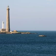
Île Vierge lighthouse
5.9 km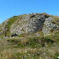
Tumulus de l'île Carn
5.9 km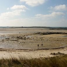
Guennoc island
954 m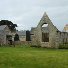
Abbaye Notre-Dame des Anges
4 km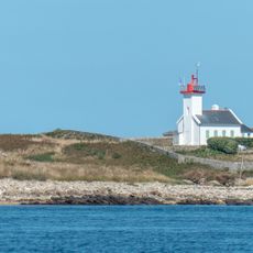
Phare de l'Île Wrac'h
3.8 km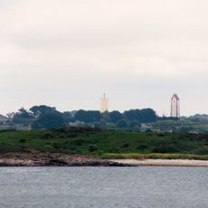
Phare de Lanvaon
6.5 km
Église de Lampaul-Ploudalmézeau
5 km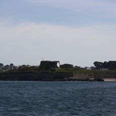
Fort Cézon
2.8 km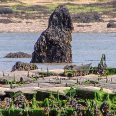
Menhir of Menozac'h
4.4 km
Menhir de Lann al Louarn
6.1 km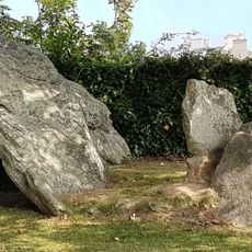
Dolmen de Lilia
5.4 km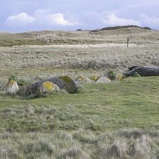
Allée couverte de Pont-ar-Bleiz
4.1 km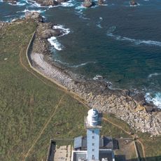
Old Île Vierge lighthouse
5.9 km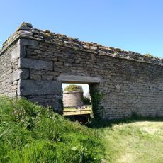
Pigeonnier de Lampaul-Ploudalmézeau
6.2 km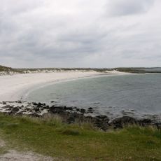
Plage de Kloukouri
1.3 km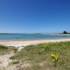
Plage de Saint-Cava
4.4 km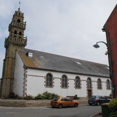
Église Saint-Congar de Landéda
4 km
Plage de Lilia
4.8 km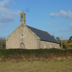
Chapelle Saint-Eveltoc de Brouennou
2.6 km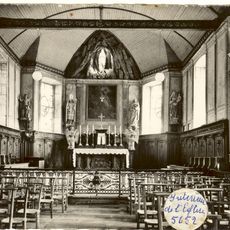
Église Saint-Tugdual
4.6 km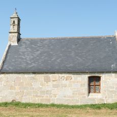
Chapelle Saint-Laurent de Troménec
4.9 km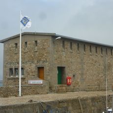
Aber-Wrac'h lifeboat station
4.4 km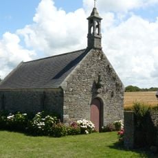
Chapelle Saint-Eloi de Ploudalmézeau
5.9 km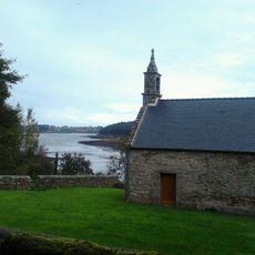
Chapelle Saint-Majan de Loc-Majan
5.9 km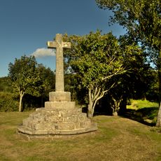
Troménec chapel cross
4.9 km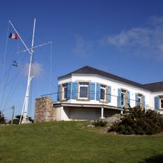
Sémaphore de l'Aber Wrac'h
4.2 km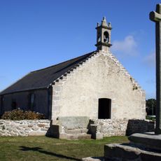
Chapelle Sainte-Marguerite
1.8 km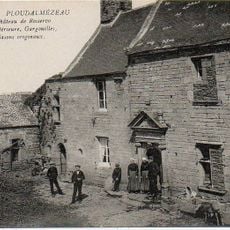
Manoir de Roscervo
6.2 kmReviews
Visited this place? Tap the stars to rate it and share your experience / photos with the community! Try now! You can cancel it anytime.
Discover hidden gems everywhere you go!
From secret cafés to breathtaking viewpoints, skip the crowded tourist spots and find places that match your style. Our app makes it easy with voice search, smart filtering, route optimization, and insider tips from travelers worldwide. Download now for the complete mobile experience.

A unique approach to discovering new places❞
— Le Figaro
All the places worth exploring❞
— France Info
A tailor-made excursion in just a few clicks❞
— 20 Minutes