
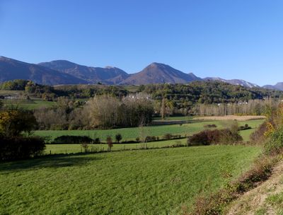
Val Coisin, vallée glaciaire en France
Location: Sainte-Hélène-du-Lac
Location: Les Mollettes
Location: Saint-Pierre-de-Soucy
Location: Coise-Saint-Jean-Pied-Gauthier
Location: Villard-d'Héry
Location: Hauteville
Location: Châteauneuf
Elevation above the sea: 260 m
Width: 800 m
GPS coordinates: 45.50045,6.10788
Latest update: June 23, 2025 11:55
Château de Montmélian
4.2 km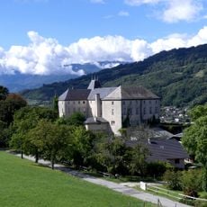
Château de la Rochette
4.8 km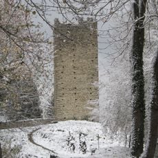
Château de Montmayeur
1.7 km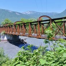
Pont Victor-Emmanuel
2.3 km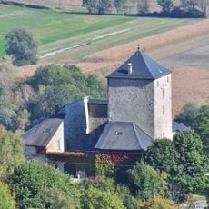
Château de la Rive
4 km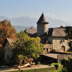
Château de Verdun-Dessus
4.3 km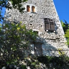
Tour du Chaffard
4 km
Pont Morens
3.7 km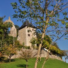
Maison forte du Chanay
3.6 km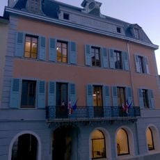
Hôtel Nicolle de La Place
3.8 km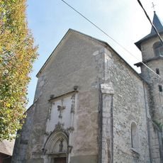
Église Saint-Jean-Baptiste de Saint-Jean-Pied-Gauthier
444 m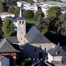
Église Saint-Jean-Baptiste de La Rochette
4.9 km
Église de la Sainte-Vierge de Rotherens
3.8 km
Église Saint-Nicolas d'Arbin
3.4 km
Église Saint-Laurent d'Étable
4.9 km
Belvédére des Calloudes
4.1 km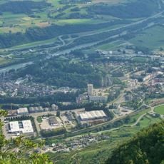
Belvédère du Rocher de Manettaz
4.4 km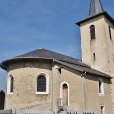
Église Saint-Martin de Villard-d'Héry
2.7 km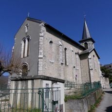
Église Saint-Michel de La Chavanne
2.8 km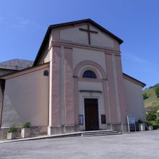
Église Saint-Pierre de Coise
3.7 km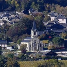
Église Saint-Laurent de Cruet
3.1 km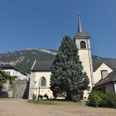
Église de l'Assomption-de-Notre-Dame de Montmélian
3.7 km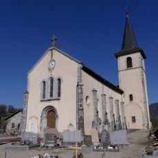
Église Sainte-Hélène de Sainte-Hélène-du-Lac
3.9 km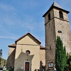
Église de Saint-Pierre-de-Soucy
580 m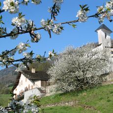
Église Saint-Michel de La Croix-de-la-Rochette
3.5 km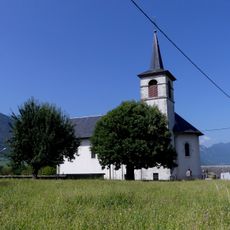
Église Saint-Sixte de Planaise
1.5 km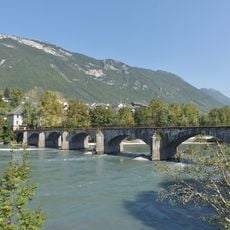
Pont Morens
3.7 km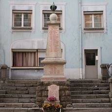
War memorial of Montmélian
3.8 kmReviews
Visited this place? Tap the stars to rate it and share your experience / photos with the community! Try now! You can cancel it anytime.
Discover hidden gems everywhere you go!
From secret cafés to breathtaking viewpoints, skip the crowded tourist spots and find places that match your style. Our app makes it easy with voice search, smart filtering, route optimization, and insider tips from travelers worldwide. Download now for the complete mobile experience.

A unique approach to discovering new places❞
— Le Figaro
All the places worth exploring❞
— France Info
A tailor-made excursion in just a few clicks❞
— 20 Minutes