
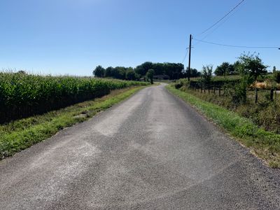
Route de Saint-Didier, route de Saint-Sulpice, dans l'Ain
Location: Saint-Sulpice
Part of: Saint-Sulpice (Ain) yol ağı
Shares border with: Chemin de la Teppe, Route de la Mairie, Chemin de Ravallin, Route de Saint-Sulpice, Chemin des Buissonnets
GPS coordinates: 46.31490,5.04810
Latest update: September 23, 2025 12:58

Château de Loriol
4.1 km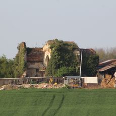
Chapelle d'Épaisse
4.3 km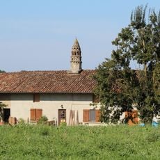
Ferme du Colombier
942 m
Ferme de Cossiat
1.3 km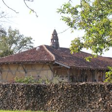
Ferme des Broguets
491 m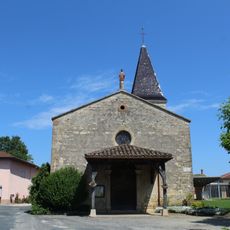
Église Saint-Barthélemy de Saint-Genis-sur-Menthon
4.7 km
Église Saint-Antoine de Saint-Sulpice
836 m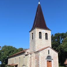
Église Saint-Didier de Saint-Didier-d'Aussiat
1.3 km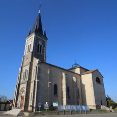
Église Saint-Pierre-et-Saint-Paul de Marsonnas
3.4 km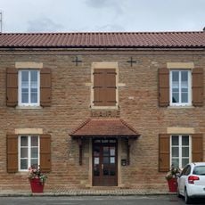
Town hall of Saint-Genis-sur-Menthon
4.7 km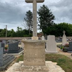
Cemetery cross of Saint-Genis-sur-Menthon
4.8 km
Mairie de Saint-Sulpice
1 km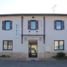
Town hall of Marsonnas
3.4 km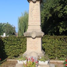
War memorial of Saint-Sulpice
841 m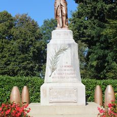
War memorial of Saint-Didier-d'Aussiat
1.3 km
Croix de Greffion
4.4 km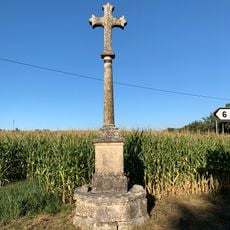
Croix Chevillard
3.7 km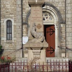
War memorial of Marsonnas
3.4 km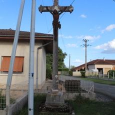
Croix de Coberthoud
4.2 km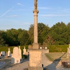
Cemetery cross of Marsonnas
3.6 km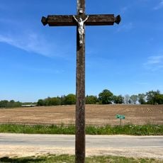
Croix des Belouzes
2.2 km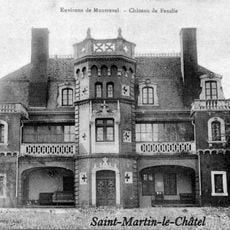
Château de Fenille
4.2 km
Clos des Acacias
1.2 km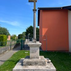
Croix de Richemont
1.3 km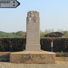
War memorial of C7 Sector Resistance
3.3 km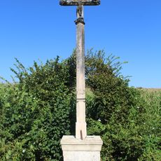
Croix de Gottex
1.6 km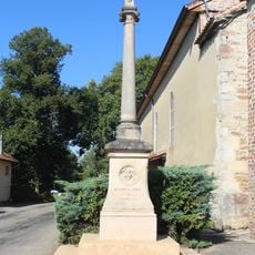
Croix de l'église de Saint-Didier-d'Aussiat
1.3 km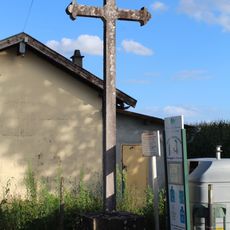
Croix Blanche
4.2 kmReviews
Visited this place? Tap the stars to rate it and share your experience / photos with the community! Try now! You can cancel it anytime.
Discover hidden gems everywhere you go!
From secret cafés to breathtaking viewpoints, skip the crowded tourist spots and find places that match your style. Our app makes it easy with voice search, smart filtering, route optimization, and insider tips from travelers worldwide. Download now for the complete mobile experience.

A unique approach to discovering new places❞
— Le Figaro
All the places worth exploring❞
— France Info
A tailor-made excursion in just a few clicks❞
— 20 Minutes