
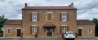
Town hall of Saint-Genis-sur-Menthon, mairie située dans l'Ain, en France
Location: Saint-Genis-sur-Menthon
Address: 17 PL DE LA MAIRIE, 01380 SAINT-GENIS-SUR-MENTHON
GPS coordinates: 46.28215,5.00876
Latest update: April 5, 2025 08:46
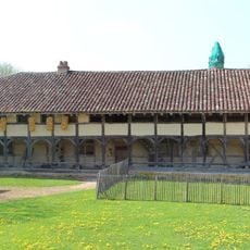
Planons Farm
2.1 km
Château de Loriol
2.4 km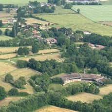
Domaine des Saveurs – Les Planons
2 km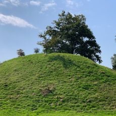
Poype de Saint-Cyr-sur-Menthon
2.7 km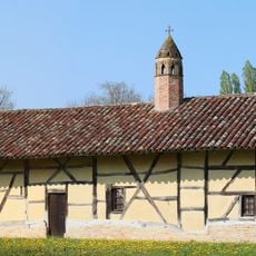
Ferme de la Grange du Clou
1.8 km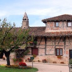
Grange des Carrons
1.7 km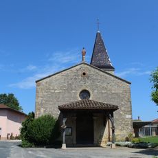
Église Saint-Barthélemy de Saint-Genis-sur-Menthon
38 m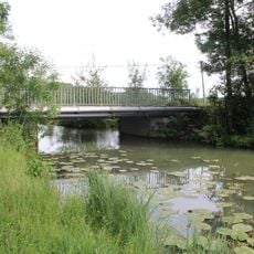
Pont d'Arringes
2.6 km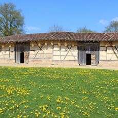
Dependance of Planons Farm
2.1 km
Notre-Dame des Champs
2.9 km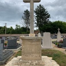
Cemetery cross of Saint-Genis-sur-Menthon
71 m
Clos Charre-de-Vaux
489 m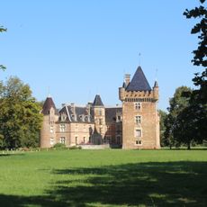
Parc du Château de Loriol
2.4 km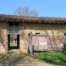
Building of the oven, pig pouches and henhouse of Planons Farm
2.1 km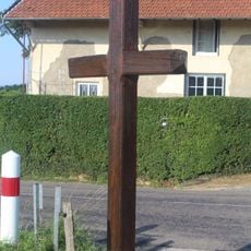
Croix de Greffion
606 m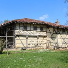
Main building of Planons Farm
2.1 km
Town hall of Saint-Cyr-sur-Menthon
2.8 km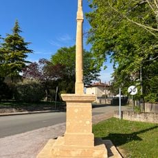
Croix du Logis
2.7 km
Clos des Roussières
402 m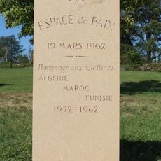
Monument de l'Espace de Paix de Saint-Cyr-sur-Menthon
2.7 km
Clos de la Chapelle
265 m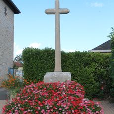
Croix du bourg
2.9 km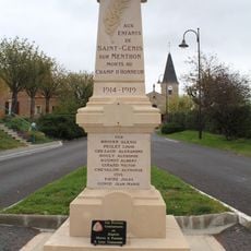
War memorial of Saint-Genis-sur-Menthon
54 m
Clos de la Félie
126 m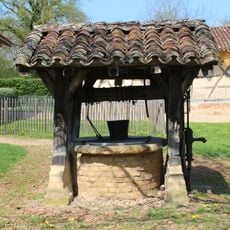
Water well of Planons Farm
2.1 km
Clos Boutaron
2.8 km
Poype de Nécudet
898 m
Bois Boucher
2.3 kmVisited this place? Tap the stars to rate it and share your experience / photos with the community! Try now! You can cancel it anytime.
Discover hidden gems everywhere you go!
From secret cafés to breathtaking viewpoints, skip the crowded tourist spots and find places that match your style. Our app makes it easy with voice search, smart filtering, route optimization, and insider tips from travelers worldwide. Download now for the complete mobile experience.

A unique approach to discovering new places❞
— Le Figaro
All the places worth exploring❞
— France Info
A tailor-made excursion in just a few clicks❞
— 20 Minutes