
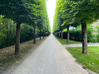
Promenade du Château, street in Rungis, France
Location: Rungis
Part of: Rungis yol ağı
Shares border with: rue Edme Verniquet, promenade de l'Aqueduc, allée du 6 Juin 1944
GPS coordinates: 48.75080,2.34420
Latest update: September 23, 2025 16:49
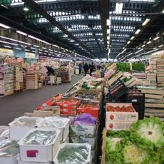
Marché d'Intérêt National de Rungis
1.2 km
Medici aquaduct
436 m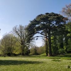
Domaine du château de Montjean
1.1 km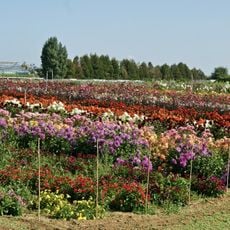
Centre Horticole de la Ville de Paris
460 m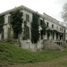
Château de Montjean
973 m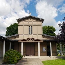
Église Notre-Dame-de-l'Assomption de Rungis
578 m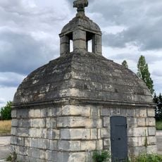
Regard de la Loge
863 m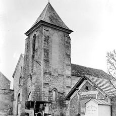
Église paroissiale Notre-Dame de Rungis
566 m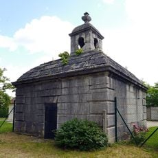
Regard Louis-XIII
453 m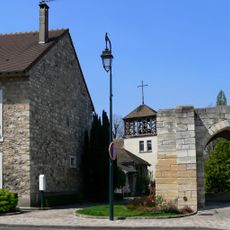
Chapelle Saint-Grégoire de Rungis
520 m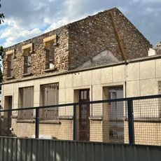
Mairie d'Honneur de Rungis
475 m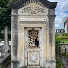
Chapelle funéraire de la famille Sorbet
1.2 km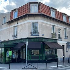
Maison, 3 avenue Lucien-Grelinger
342 m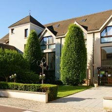
Town hall of Rungis
348 m
Fresnes cemetery cross
1.2 km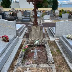
Tombeau n°2 de la famille Picot
417 m
Esplanade du Général de Gaulle
1.4 km
Maisons jumelées, 17-19 rue de la Pirouette
495 m
Grave of Fourny family
1.1 km
Quai de Lorient
853 m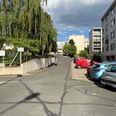
Résidence Médicis
560 m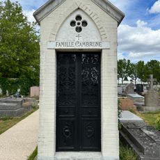
Chapelle funéraire de la famille Cambrune
1.2 km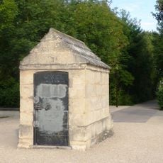
Regard No. 2
180 m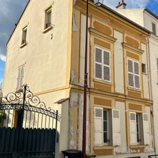
Maison, 18 rue Sainte-Geneviève
325 m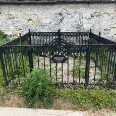
Grave of German soldiers in Fresnes
1.1 km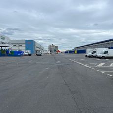
Quai de Boulogne
968 m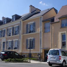
Prieuré Saint-Grégoire
497 m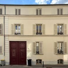
Maison, 16 rue Sainte-Geneviève
318 mReviews
Visited this place? Tap the stars to rate it and share your experience / photos with the community! Try now! You can cancel it anytime.
Discover hidden gems everywhere you go!
From secret cafés to breathtaking viewpoints, skip the crowded tourist spots and find places that match your style. Our app makes it easy with voice search, smart filtering, route optimization, and insider tips from travelers worldwide. Download now for the complete mobile experience.

A unique approach to discovering new places❞
— Le Figaro
All the places worth exploring❞
— France Info
A tailor-made excursion in just a few clicks❞
— 20 Minutes