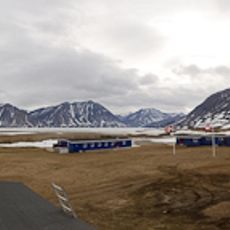
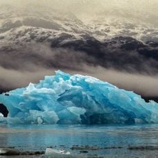
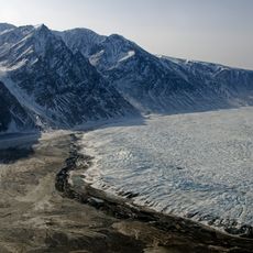
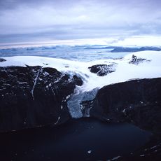
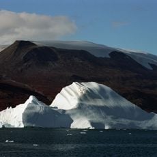
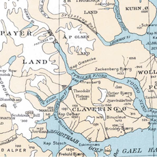
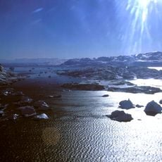
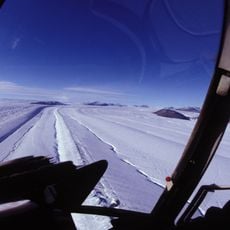
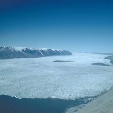
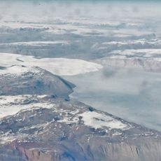
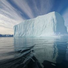
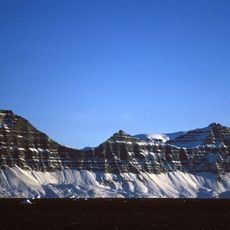
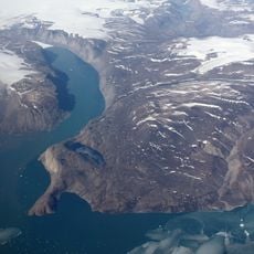
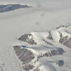
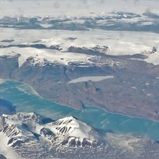
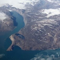
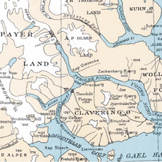
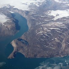
Kejser Franz Joseph Fjord, Arctic fjord in Northeast Greenland National Park, Greenland.
Kejser Franz Joseph Fjord is a fjord system in Northeast Greenland National Park that runs about 100 km west from Foster Bay, then turns NNE/SSW for roughly 32 km at Eleonore Bay before bending west again at Cape Mohn on Ymer Island. The Nordfjord and narrower Geologfjord branch from its northern side about 70 km from the entrance, and the Nordenskiold Glacier flows into its head just west of Kjerulf Fjord. Its drowned-valley structure leaves almost no small islands in the interior.
The fjord was first mapped by the Second German North Polar Expedition between 1869 and 1870, and was named in honor of Emperor Franz Joseph. This early cartographic work in one of Earth's most remote regions documented scientific exploration of northern Greenland during the 1800s.
The fjord's name honours Franz Joseph, Emperor of Austria-Hungary, who gave substantial donations to the Second German North Polar Expedition of 1869–70 that surveyed it. Since the 1920s palaeozoologists have travelled to the fjord to collect and study remains of ancient animals from the period when life moved from the ocean onto land.
The best time to visit is during the brief Arctic summer months when water conditions are more favorable and ice coverage decreases. Access is primarily by boat or ship, so careful planning and maritime experience are important for safely exploring this remote region.
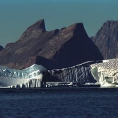
Teufelsschloss, the Devil's Castle, rises on the southern side of Cape Petersens at the northwest tip of Ymer Island. Its reddish rock is cut by a lighter stripe running diagonally across the face, a landmark German expedition members could fix by sight while charting the fjord in 1869–70.
The community of curious travelers
AroundUs brings together thousands of curated places, local tips, and hidden gems, enriched daily by 94,031 contributors worldwide.