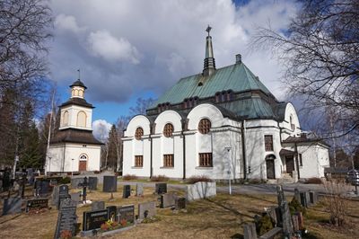
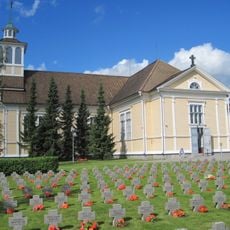
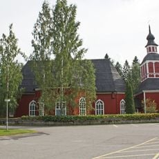
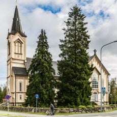
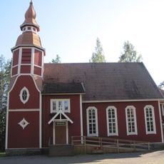
Alavus, town in the region of South Ostrobothnia in Finland
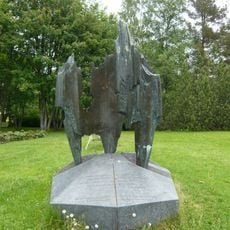
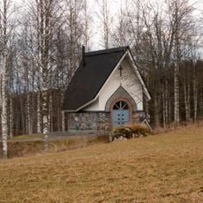
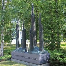
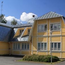
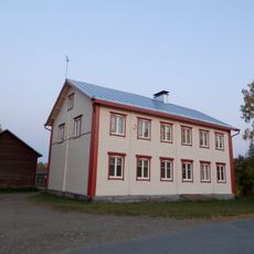
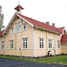
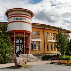
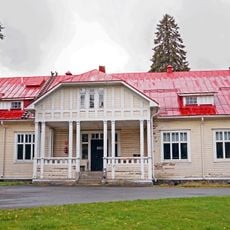
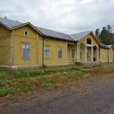
Alavus is a town in South Ostrobothnia, Finland. It sits in a flat, forested landscape and serves as a local hub with schools, shops, and public services.
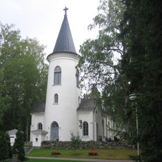
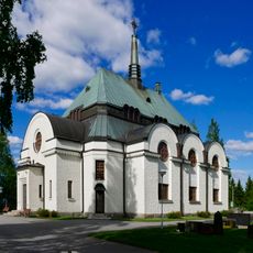
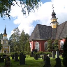
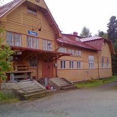
The town was founded in the 17th century and developed as a trading center in the region. Its layout reflects typical Finnish town planning from that era.
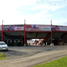
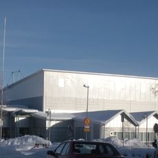
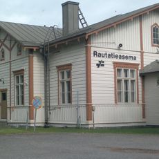
The town is accessible by road and rail with basic facilities for visitors. You will find hotels, restaurants, and local shops that reflect everyday community life.
The community of curious travelers
AroundUs brings together thousands of curated places, local tips, and hidden gems, enriched daily by 60,000 contributors worldwide.
Location
Inception
1865
Elevation above the sea
98 m
Shares border with
Alajärvi, Kuortane, Seinäjoki, Virrat, Ähtäri
Website
GPS coordinates
62.58611,23.61944
Latest update
December 20, 2025 15:15