
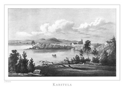
Karstula, municipality in the region of Central Finland
Location: Central Finland
Inception: 1867
Part of: Central Finland
Shares border with: Kannonkoski, Kivijärvi, Kyyjärvi, Saarijärvi, Soini
Website: http://karstula.fi
GPS coordinates: 62.87500,24.80000
Latest update: March 8, 2025 18:59
Ähtäri Zoo
49.1 km
Salamajärvi National Park
43.7 km
Pyhä-Häkki National Park
34.3 km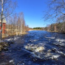
Huopanankoski
41.5 km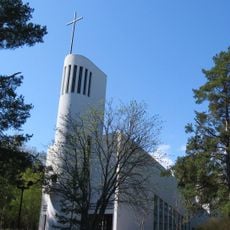
Kannonkoski Church
25.4 km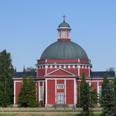
Saarijärvi Church
30.3 km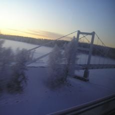
Hännilänsalmi suspension bridge
54.8 km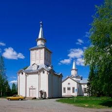
Soini Church
30.1 km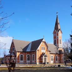
Multia Church
52 km
Villa Väinölä
51.5 km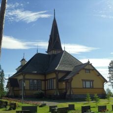
Perho Church
42.6 km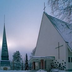
Kyyjärvi Church
22.5 km
Maison de la garde d'Alajärvi
51.4 km
Nelimarkka Art Museum
51.3 km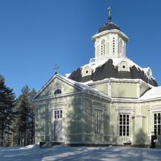
Konginkangas Church
52.4 km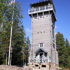
Kirkkovuori Observation Tower
2.2 km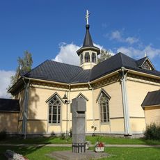
Uurainen Church
52.1 km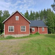
Multian työväentalo Ahjola
51.5 km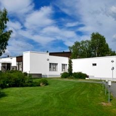
Public library of Alajärvi
51.3 km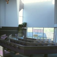
Hietama Church
51.6 km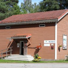
Konginkankaan kotiseutumuseo
52.4 km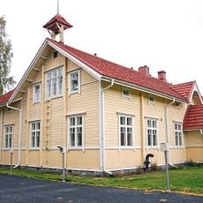
School building in Tuomarniemi Institute of Forestry
49.7 km
Kolkanlahti Chapel
23.9 km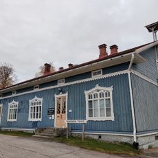
House in Tarvaala agricultural college and farm
34.9 km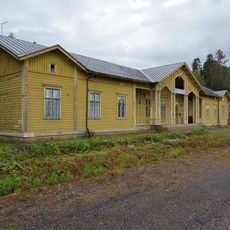
Myllymäki railway station building
47.2 km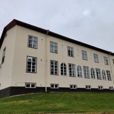
School building in Tarvaala agricultural college and farm
34.8 km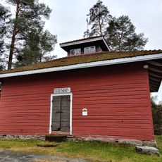
Granary in Tarvaala
34.9 km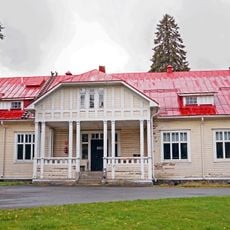
Dormitory in Tuomarniemi Institute of Forestry
49.7 kmReviews
Visited this place? Tap the stars to rate it and share your experience / photos with the community! Try now! You can cancel it anytime.
Discover hidden gems everywhere you go!
From secret cafés to breathtaking viewpoints, skip the crowded tourist spots and find places that match your style. Our app makes it easy with voice search, smart filtering, route optimization, and insider tips from travelers worldwide. Download now for the complete mobile experience.

A unique approach to discovering new places❞
— Le Figaro
All the places worth exploring❞
— France Info
A tailor-made excursion in just a few clicks❞
— 20 Minutes