
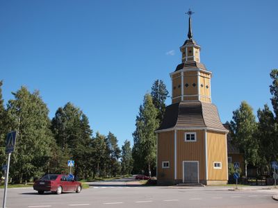
Lemi, municipality in the region of South Karelia in Finland
Location: South Karelia
Inception: 1688
Part of: Southeast Finland
Shares border with: Lappeenranta, Luumäki, Savitaipale, Taipalsaari
Website: http://lemi.fi
GPS coordinates: 61.06111,27.80417
Latest update: March 4, 2025 08:21
Fortress of Lappeenranta
20.4 km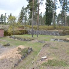
Taavetti Fortress
20.3 km
Kotkaniemi
10.5 km
Sandcastle
20.5 km
Kuivaketvele hillfort
17.6 km
Skinnarilan hovi
15.5 km
Kiss park
20.4 km
Cavalry Museum
20.4 km
Museum of South Karelia
20.4 km
Vanha kenttä
20.3 km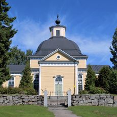
Taipalsaari Church
17.7 km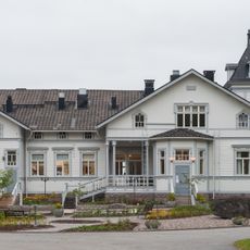
Olkkola Manor
17.2 km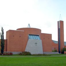
Sammonlahti Church
16.5 km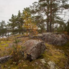
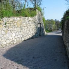
Colline fortifiée de Kannus
13.2 km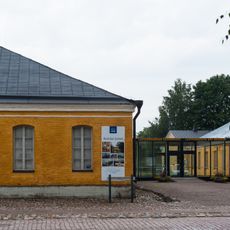
Lappeenranta Art Museum
20.4 km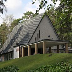
Ristikangas Chapel
20.1 km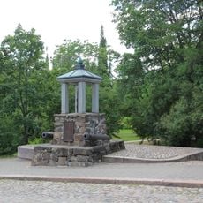
Memorial of the Battle of Lappeenranta
20.5 km
Sunisenselkä
17.6 km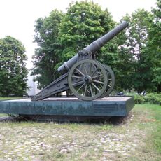
Memorial of the Artillery School
20 km
Memorial of the Artillery Regiments
20 km
Bridge of Sighs
20.4 km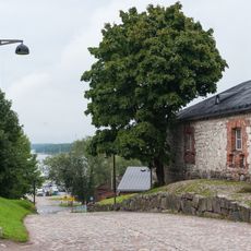
Savonlinna Gate
20.4 km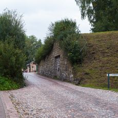
Vyborg Gate
20.4 km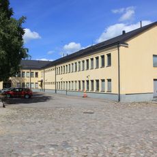
Radio House
20.5 km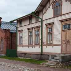
Orthodox Rectory
20.5 km
Memorial of the Lapvesi Church
20.4 km
Majurska House
20.5 km
Commandant's House
20.5 kmReviews
Visited this place? Tap the stars to rate it and share your experience / photos with the community! Try now! You can cancel it anytime.
Discover hidden gems everywhere you go!
From secret cafés to breathtaking viewpoints, skip the crowded tourist spots and find places that match your style. Our app makes it easy with voice search, smart filtering, route optimization, and insider tips from travelers worldwide. Download now for the complete mobile experience.

A unique approach to discovering new places❞
— Le Figaro
All the places worth exploring❞
— France Info
A tailor-made excursion in just a few clicks❞
— 20 Minutes