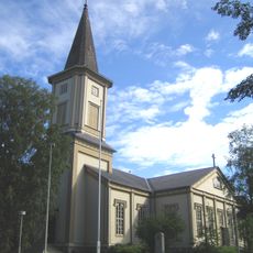
Sotkamo, Municipality in Kainuu, Finland
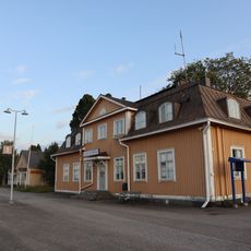
Sotkamo is a municipality in the Kainuu region of northern Finland, situated approximately 40 kilometers east of Kajaani. The area encompasses lakes, rivers, and forests along with Hiidenportti and Tiilikkajärvi National Parks.
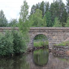
The settlement grew along a water route connecting local communities to the White Sea, establishing important trade links in its early development. These waterways remained vital for moving goods and exchanging knowledge between neighboring regions.
The local community centers much of its social life around sports, particularly pesäpallo, a Finnish bat sport played by the home team Sotkamon Jymy at the central Hiukka Stadium. Residents and visitors can often see the enthusiasm for the sport during matches and community gatherings.
The area offers outdoor activities throughout the year, with skiing available at Vuokatti and hiking trails through both national parks. Visitors can choose between winter sports and summer activities like walking and fishing depending on the season.
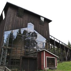
The Talvivaara area contains one of Europe's largest nickel deposits, powering mining operations that shape the local economy alongside tourism and outdoor activities. Mining has been central to the region's industrial identity and continues to influence employment and growth.
Location: Kainuu
Reference: 765
Shares border with: Kajaani, Kuhmo, Nurmes, Paltamo, Rautavaara, Ristijärvi, Sonkajärvi
Website: https://sotkamo.fi/en
GPS coordinates: 64.13056,28.38333
Latest update: December 13, 2025 13:25
Hiidenportti National Park
43.7 km
Murtovaara House Museum
45.1 km
Sotkamo Church
1.1 km
Uitonsalmi railway bridge
26.2 km
Jyrkkäkoski Ironworks
48.4 km
Peurajärvi Recreational Area
52.4 km
Pyhän Kolminaisuuden kirkko
53.7 km
Vuokatti church
5.8 km
Tervasalmi bridge
35 km
Täyssinän rauhan rajakivi
28.2 km
Sotkamo Museum
1.2 km
Tervajärvi Museum
18.8 km
Naulavaara
27.9 km
Halolankallio Rock Painting
7.7 km
Petäjäkosken ruukki
40.8 km
Kukkarokivi (bato sa Finlandia, Pohjois-Karjala, Pielisen Karjala, lat 63,79, long 29,02)
49.1 km
Isokivi (bato sa Finlandia, Kainuu, Kajaani, lat 63,91, long 27,83)
36.4 km
Kalmanniemi
55.3 km
Pakoluola
5.9 km
Water tower in Vuokatti Railway Station
5.6 km
Shed in Kontiomäki railway station
26.4 km
Shed 1 in Vuokatti Railway Station
5.7 km
Shed 3 in Vuokatti Railway Station
5.6 km
Kontiomäki railway station building
26.5 km
Warehouse in Kontiomäki railway station
26.6 km
Restaurant appendage in Kontiomäki railway station
26.4 km
Public toilet in Kontiomäki railway station
26.4 km
Residential barracks in Kontiomäki railway station
26.4 kmVisited this place? Tap the stars to rate it and share your experience / photos with the community! Try now! You can cancel it anytime.
Discover hidden gems everywhere you go!
From secret cafés to breathtaking viewpoints, skip the crowded tourist spots and find places that match your style. Our app makes it easy with voice search, smart filtering, route optimization, and insider tips from travelers worldwide. Download now for the complete mobile experience.
A unique approach to discovering new places❞
— Le Figaro
All the places worth exploring❞
— France Info
A tailor-made excursion in just a few clicks❞
— 20 Minutes