Kuhmo, Municipality in Kainuu region, Finland
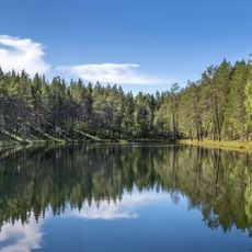
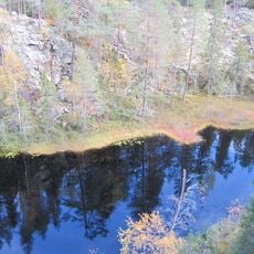
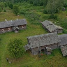
Kuhmo is a municipality in the Kainuu region of eastern Finland, sprawling across vast forest landscapes with approximately 600 lakes. This densely forested area near the Russian border defines the natural character of the region.
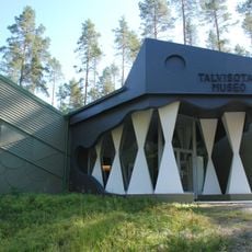
The first people settled in Kuhmo around 10,000 years ago, with archaeological finds at several lakes showing early human presence. Later, the area became a site of intense military conflict during the 1939-1940 Winter War between Finland and the Soviet Union.
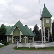
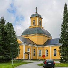
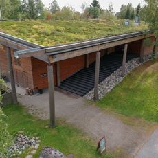
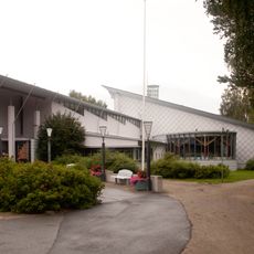
The Kuhmo Chamber Music Festival brings classical musicians and music lovers here each July, establishing the municipality as a center for this art form. During the festival season, performances take place across different venues throughout the region.
The Petola Visitor Centre provides information about regional wildlife and offers opportunities to observe large predators like bears, wolves, and wolverines in their natural habitat. The best time for this type of visit is during twilight hours or early morning when animals are most active.
The Winter War Museum displays artifacts and documents from the 1939-1940 conflict, offering insight into the mountain warfare tactics that Finns used to resist Soviet advances. The collection shows how the local population adapted during this difficult period.
The community of curious travelers
AroundUs brings together thousands of curated places, local tips, and hidden gems, enriched daily by 60,000 contributors worldwide.