Sysmä, municipality in the region of Päijänne Tavastia in Finland
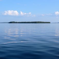
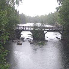
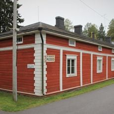
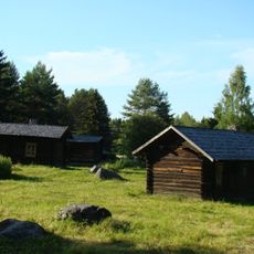
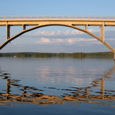
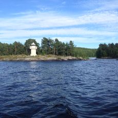
Sysmä is a small town in the Päijät-Häme region of southern Finland, surrounded by numerous lakes and forests spread across roughly 936 square kilometers. The landscape contains over 167 lakes, rivers, and fields dotted with traditional wooden houses and farmsteads, creating a quiet countryside setting.
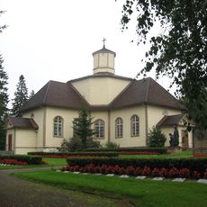
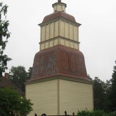
The first settlement of Sysmä occurred in the 15th century when the region was a large parish that later split into separate communities. Over time, the economy was shaped mainly by farming and fishing, while the area's connection to nature became central to its identity and development.
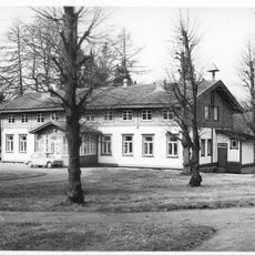
The name Sysmä possibly means dark forest or uninhabited wilderness, reflecting the natural surroundings that shaped settlement patterns. The community maintains traditional ways of life, with many homes used as vacation houses and a deep connection to nature defining daily rhythms.
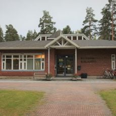
The area is easily accessible by road, making it straightforward for visitors wanting to escape city life. Accommodations are mainly small guesthouses and vacation cottages scattered throughout the region, allowing direct contact with the natural surroundings.
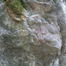
The area contains impressive glacial erratics that were moved by glaciers thousands of years ago, such as Kammiovuori mountain and Onkiniemen liikkuva kivi, a rock that has shifted slightly over time. These natural monuments serve as reminders of the landscape's geological past and attract visitors interested in ice-age history.
The community of curious travelers
AroundUs brings together thousands of curated places, local tips, and hidden gems, enriched daily by 60,000 contributors worldwide.