Hartola, municipality in the region of Päijänne Tavastia in Finland
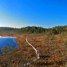
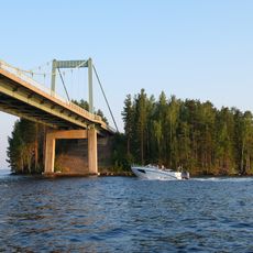
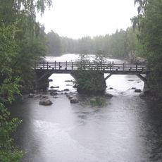
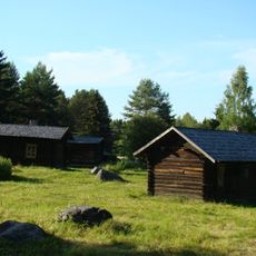
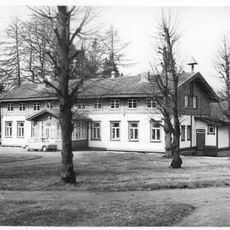
Hartola is a small town and municipality in the region of Päijänne Tavastia with a quiet atmosphere and a slow pace of life. The area is shaped by lakes such as Jääsjärvi and Rautavesi and surrounded by forests that define how residents move through their daily lives.
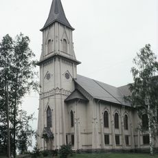
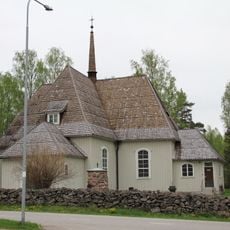
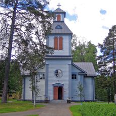
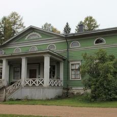
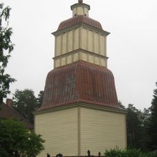
Hartola has roots in the time when Finland was under Swedish rule and local people sought their own church and community structures. The town was established following a petition to the Swedish king, who named it after his son Gustav Adolf, a connection that remains important to its identity today.
Hartola calls itself "Finland's only kingdom" because of its historical ties to Sweden and the way it views its own special place in the country. The local culture centers on simple pleasures like gardening, fishing, and time spent outdoors, which becomes especially visible during the annual September market where neighbors gather to share local products and handmade goods.
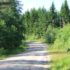
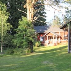
The town is easily reached by car or bus, especially along Highway 4, which connects it with larger cities like Lahti and Jyväskylä. Visitors can stay in various types of accommodations, from hotels and inns to cottages and camping sites spread throughout the area.
The Hartola Market in September is the largest market in Finland, with over 300 vendors gathering on the streets on the first Saturday of the month. This event, which has run since 1937, transforms the small town into a lively gathering place where visitors can find traditional foods, crafts, and local art.
The community of curious travelers
AroundUs brings together thousands of curated places, local tips, and hidden gems, enriched daily by 60,000 contributors worldwide.