
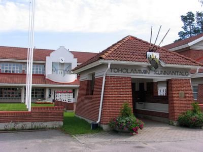
Toholampi, municipality in the region of Central Ostrobothnia in Finland
Location: Central Ostrobothnia
Inception: 1865
Elevation above the sea: 94 m
Part of: Vaasa
Shares border with: Kokkola, Kannus, Lestijärvi, Sievi
Website: http://toholampi.fi
GPS coordinates: 63.77500,24.25000
Latest update: April 2, 2025 19:54
Ylivieska Church
36.1 km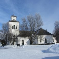
Kaarlela Church
55.4 km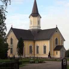
Haapajärvi Church
52.5 km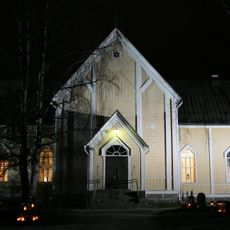
Nivala Church
38.7 km
Memorial of J.V Snellman
55.1 km
Alavieska Church
43.6 km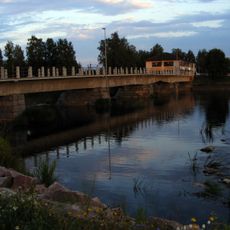
Savisilta
36.3 km
Lohtaja Church
45.8 km
Veteli Church
41.1 km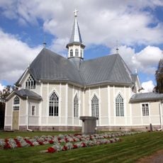
Kälviä Church
40.6 km
Kaustinen Folk Arts Centre
37.7 km
Kaustinen Church
37.1 km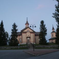
Kannus Church
21.7 km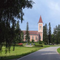
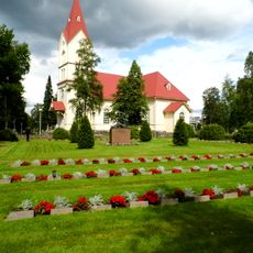
Toholampi Church
1.5 km
Spa SaniFani
55.2 km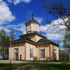
Halsua Church
35.3 km
Rautio Church
33.6 km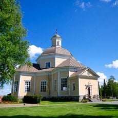
Nedervetil Church
45.9 km
Terjärv Church
44.7 km
Pelimannitalo
37.5 km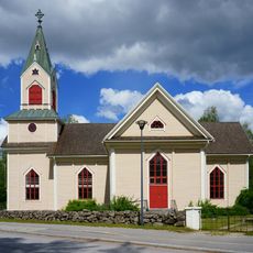
Lestijärvi Church
34.3 km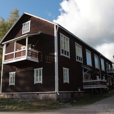
Kannus hall
21.8 km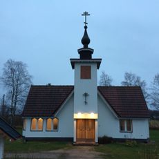
Kristuksen kirkastumisen kirkko
44.8 km
Vetelin museo
41.5 km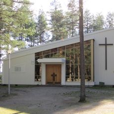
Muurasjärvi Church
54.5 km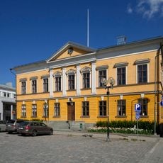
Mairie de Kokkola
55.4 km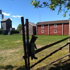
Halsuan kotiseutumuseo
33.1 km
Ollisbackenin–Brantbackenin muinaisjäännösalue
42.1 kmVisited this place? Tap the stars to rate it and share your experience / photos with the community! Try now! You can cancel it anytime.
Discover hidden gems everywhere you go!
From secret cafés to breathtaking viewpoints, skip the crowded tourist spots and find places that match your style. Our app makes it easy with voice search, smart filtering, route optimization, and insider tips from travelers worldwide. Download now for the complete mobile experience.

A unique approach to discovering new places❞
— Le Figaro
All the places worth exploring❞
— France Info
A tailor-made excursion in just a few clicks❞
— 20 Minutes