Sinj, Historical town in Split-Dalmatia County, Croatia
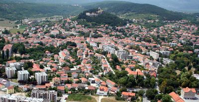
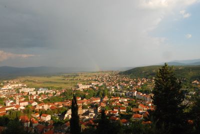
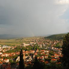
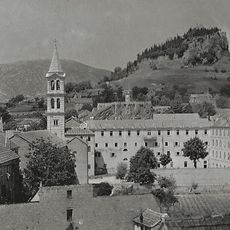
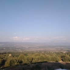
Sinj is a town situated in the Dalmatian hinterland at an elevation of approximately 330 meters, stretching along the Cetina River basin. Mountain ranges frame the valley, forming the natural backdrop to the settlement and its surroundings.
The town's first written mention dates to 1524, though the region remained contested between Venetian and Ottoman powers for centuries before that. A decisive battle in 1715 marked a turning point that allowed the settlement to stabilize and grow.
The annual Sinjska Alka tournament showcases medieval horsemanship, where riders attempt to pierce small rings with lances while galloping on horseback. This practice remains woven into the identity of local communities and draws crowds throughout the region.
The town center features numerous restaurants serving local dishes and accommodation options from small guesthouses to modern hotels within easy walking distance. Comfortable footwear is advisable, as the hilly terrain can make some routes more demanding than others.
The Cetinska Krajina Museum houses archaeological discoveries spanning from the Stone Age through Roman periods, featuring artifacts from the ancient settlement of Colonia Claudia Aequum. This collection reveals layers of prehistoric and classical civilizations that once flourished in the region.
The community of curious travelers
AroundUs brings together thousands of curated places, local tips, and hidden gems, enriched daily by 60,000 contributors worldwide.