Szentgotthárd, town in Hungary
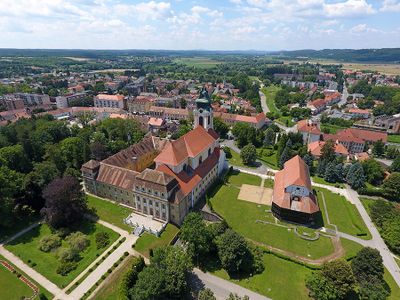
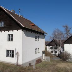
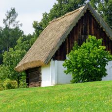
Szentgotthárd is a small town in the Vas region near the border with Austria. The settlement grew around a Benedictine monastery that shaped its layout and character for centuries.
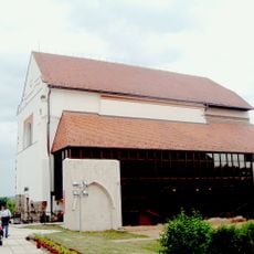
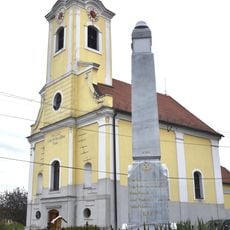
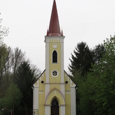
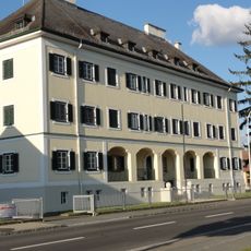
The Benedictine monastery was founded in the 11th century and became an important religious center of the region. The town developed gradually around this settlement, driven by monastic activities and later by economic connections.
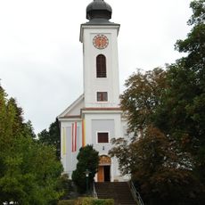
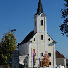
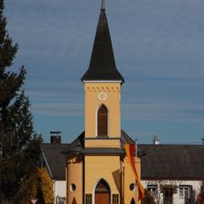
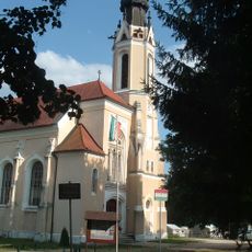
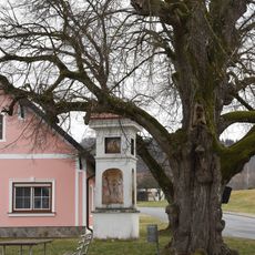
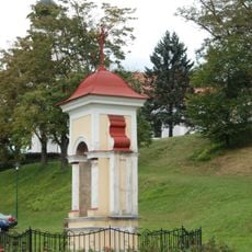
The name refers to the Benedictine monastery established here during medieval times. The monastery church remains a focal point of the townscape and reflects centuries of religious life.
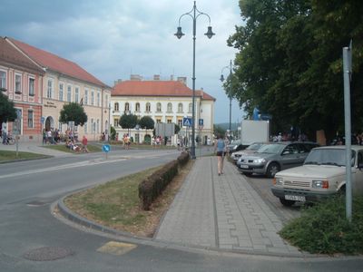
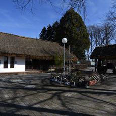
The town is best explored on foot, as most sights are located in the center. Visit any time of year, but spring and autumn provide more pleasant conditions for walking through the area.
The place lies in a border zone where Hungarian and Austrian cultures meet and blend in everyday details. This geographical position created centuries of exchange and mutual influence between the two traditions.
The community of curious travelers
AroundUs brings together thousands of curated places, local tips, and hidden gems, enriched daily by 60,000 contributors worldwide.