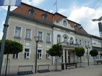
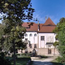
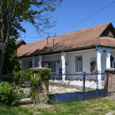
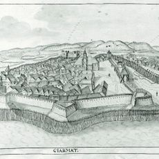
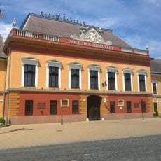
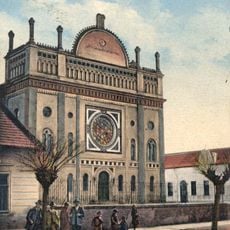
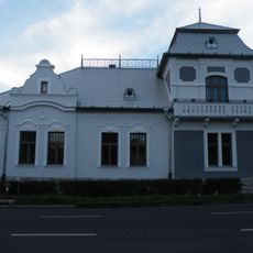
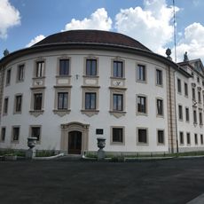
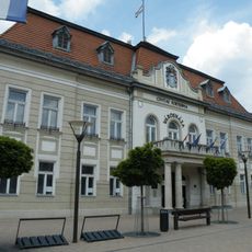
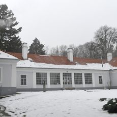
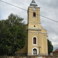
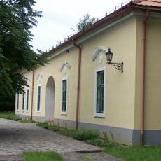
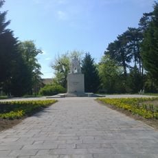
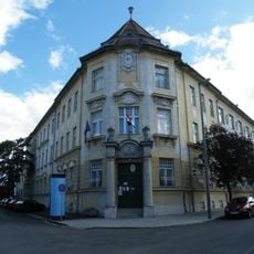
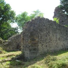
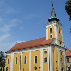
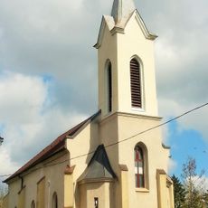
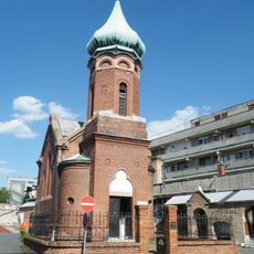
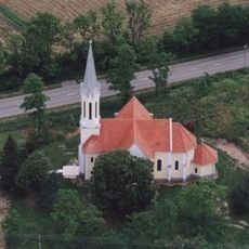
Balassagyarmat District, district of Hungary
Location: Nógrád County
Inception: 19 century
Capital city: Balassagyarmat
Shares border with: Rétság District, Pásztó District, Szécsény District, Vác District, Szob District, Levice District, Veľký Krtíš District
GPS coordinates: 47.98333,19.33333
Latest update: March 4, 2025 06:59
Prónay Mansion, Alsópetény
14 km
Prónay Observation Tower
12 km
Palóc Museum
10.7 km
Klári Tolnay Memorial House
1.2 km
Castle of Balassagyarmat
11.3 km
Former County Hall, Balassagyarmat
10.9 km
Balassagyarmati zsinagóga
11 km
Civitas Fortissima Museum
10.6 km
Palóc liget, Balassagyarmat
10.7 km
1st Bicycle Museum
11.6 km
Palace of the Gendarmerie
10.5 km
Town Hall, Balassagyarmat
10.9 km
Imre Madách Memorial Museum
5.5 km
Lutheran church in Balassagyarmat
10.7 km
Majláth Mansion, Patvarc
9.1 km
Heroes' Square
10.4 km
Financial palace
10.8 km
Palóc Stage
10.8 km
Our Lady church in Tereske
10.8 km
Mária a Szentlélek Mátkája templom
10.1 km
Medieval church ruins in Veľká Čalomija
14.1 km
Holy Trinity Church in Balassagyarmat
11 km
Református templom
10.6 km
Szerbtemplom
11.1 km
Kisboldogasszony-templom
931 m
Statue of John of Nepomuk
13.9 km
Kövi Pál Sports Center
11.4 km
Orsós Magnó Múzeum
8.5 kmReviews
Visited this place? Tap the stars to rate it and share your experience / photos with the community! Try now! You can cancel it anytime.
Discover hidden gems everywhere you go!
From secret cafés to breathtaking viewpoints, skip the crowded tourist spots and find places that match your style. Our app makes it easy with voice search, smart filtering, route optimization, and insider tips from travelers worldwide. Download now for the complete mobile experience.
A unique approach to discovering new places❞
— Le Figaro
All the places worth exploring❞
— France Info
A tailor-made excursion in just a few clicks❞
— 20 Minutes